Jekyll Island Airport
| Jekyll Island Airport | |||||||||||
|---|---|---|---|---|---|---|---|---|---|---|---|
| IATA: none – ICAO: none – FAA LID: 09J | |||||||||||
| Summary | |||||||||||
| Airport type | Public | ||||||||||
| Owner/Operator | Jekyll Island Authority | ||||||||||
| Location | Jekyll Island, GA | ||||||||||
| Time zone | ET (UTC-5) | ||||||||||
| Elevation AMSL | 11 ft / 3.35 m | ||||||||||
| Coordinates | 31°4′28″N 81°25′39″W / 31.07444°N 81.42750°WCoordinates: 31°4′28″N 81°25′39″W / 31.07444°N 81.42750°W | ||||||||||
| Website | http://jekyllislandairport.com | ||||||||||
| Map | |||||||||||
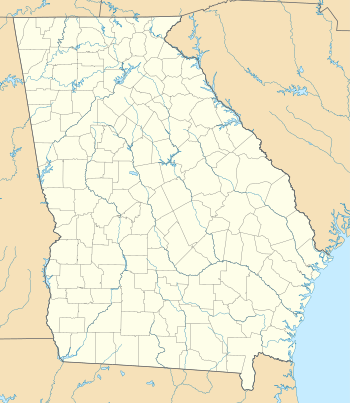 09J Location of airport in Georgia | |||||||||||
| Runways | |||||||||||
| |||||||||||
| Statistics (2014) | |||||||||||
| |||||||||||
Jekyll Island Airport is a small general aviation airport located in Jekyll Island, GA. It is around 2 miles away from central Jekyll Island, GA. Due to its small runway size and the nearby Brunswick Golden Isles Airport, no commercial airlines fly there, but scenic tours of the island fly from there. The airport has 3 based aircraft, and around 74 aircraft operations a day.[1][2]
References
- ↑ "AirNav: 09J - Jekyll Island Airport". airnav.com. Retrieved 2016-06-25.
- ↑ "AirportIQ 5010". www.gcr1.com. Retrieved 2016-06-26.
This article is issued from Wikipedia - version of the 10/2/2016. The text is available under the Creative Commons Attribution/Share Alike but additional terms may apply for the media files.