Jakhau
| Jakhau જખૌ Jakhan, Juckow | |
|---|---|
| village | |
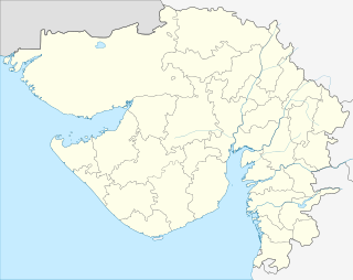 Jakhau  Jakhau Location in Gujarat, India | |
| Coordinates: 23°13′07″N 68°43′01″E / 23.21861°N 68.71694°ECoordinates: 23°13′07″N 68°43′01″E / 23.21861°N 68.71694°E | |
| Country |
|
| State | Gujarat |
| District | Kutch (Kachchh) |
| Taluka | Abdasa |
| Government | |
| • Body | Gram Panchayat |
| Elevation[1] | 15 m (49 ft) |
| Population (2001) | |
| • Total | 4,076 |
| Languages | |
| • Official | Gujarati, Hindi |
| Time zone | IST (UTC+5:30) |
| PIN | 370640 |
| Vehicle registration | GJ-12 |
| Nearest city | Bhuj |
| Lok Sabha constituency | Kachchh |
| Vidhan Sabha constituency | Abdasa[2] |
| Civic agency | Gram Panchayat |
| Website |
gujaratindia |
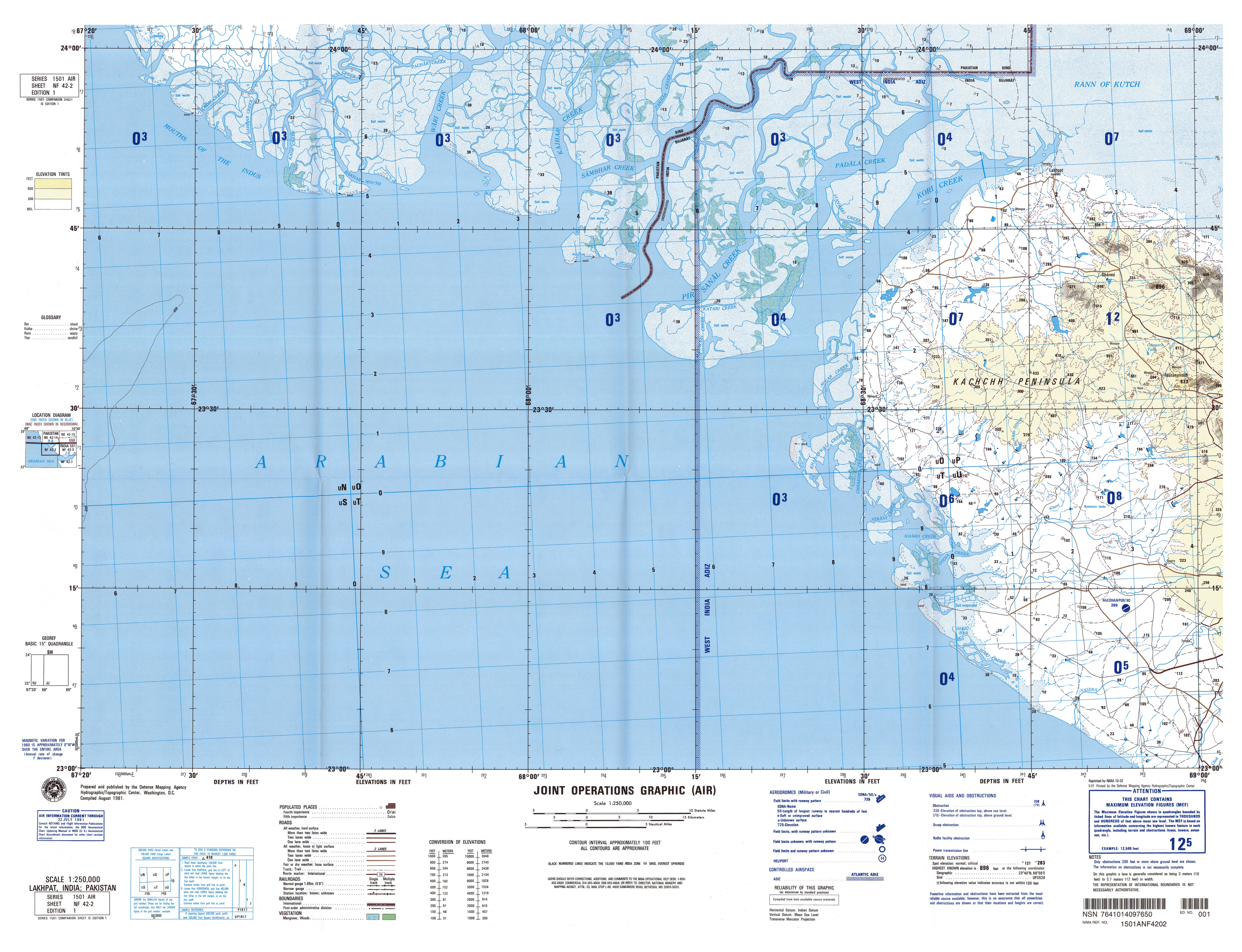
Jakhau (Ja-kha-oo, pronounced as Ja-kho by locals) is a village in Gujarat, western India. Administratively, it is under Abdasa Taluka, Kutch District, of Gujarat.[3] Jakhau is 17 km by road west-southwest of Naliya, the taluka headquarters. Jakhau Salt, the port of Jakhau, is situated a further 15 km westwards.
History
The village and port are named after the legendary Jakh Botera who were shipwrecked on the Kutch coast and came ashore at Jakhau. Variously described as tall and fair-complected with an advanced culture, their traditional number is seventy-two with at least one woman. Their origins are obscure.[4][5]
In the Middle Ages, Jakhau was a thriving port and warehousing village.[6] However as Godia Creek silted up and ships increased in size, trade went to the dredged port at Mandvi instead and south to Bombay (now Mumbai). Exports were mostly salt[7] cotton, millet, and castor bean oil and later cloth and tobacco, while imports were mostly rice, lumber and dried fruit, and some sugar.[8]
The 1998 Gujarat cyclone helped to further destroy the port. The major occupation is now fishing.[9]
Demographics
In the 2001 census, the village of Jakhau had 4,076 inhabitants, with 2,032 males (49.9%) and 2,044 females (50.1%), for a gender ratio of 1006 females per thousand males.[10]
See also
Notes
- ↑ Lakhpat, India, Sheet NF 42-2 (topographic map, scale 1:250,000), Series 1501, United States Defense Mapping Agency, August 1981
- ↑ "Assembly Constituencies-Post delimitation, State: Gujarat, District: Ahmadabad" (PDF). National Information Centre, Government of India.
- ↑ "Villages of Abdasa Taluka". Kutch District. Archived from the original on 7 July 2012.
- ↑ Simpson, Edward (2009). "Chapter 1. Texts, Machinations and the Past". Muslim Society and the Western Indian Ocean: The Seafarers of Kachchh. London: Routledge. p. 40. ISBN 978-0-415-54377-4.
- ↑ Dilipsinh, K. S. (2004). Kutch: In Festival And Custom. New Delhi: Har-Anand Publications. pp. 59–60. ISBN 978-81-241-0998-4.
- ↑ Mehta, Lyla (2005). "Water and Identity in Kutch". The Politics and Poetics of Water: The Naturalisation of Scarcity in Western India. New Delhi: Orient Longman. p. 69. ISBN 978-81-250-2869-7.
- ↑ Aggarwal, Shugan Chand (1976). The Salt Industry in India (third ed.). New Delhi: Controller of Publications, Government of India. p. 201. OCLC 427303131.
- ↑ Gazetteer of the Bombay Presidency: Cutch, Palanpur, and Mahi Kantha. Printed at the Government Central Press. 1880. p. 223.
- ↑ Fishmarc & Kutch Nav Nirman Abhiyan (2010). "Kutch Coast – People, Environment & Livelihoods" (PDF).
- ↑ "Census 2001 Population Finder: Gujarat: Kachchh: Abdasa: Jakhau". Office of The Registrar General & Census Commissioner, Ministry of Home Affairs, Government of India. Archived from the original on 31 May 2013.