Jach'a Kunturiri (Oruro)
For the mountain in the La Paz Department, Bolivia, see Jach'a Kunturiri (La Paz).
| Jach'a Kunturiri | |
|---|---|
 Jach'a Kunturiri Location in Bolivia | |
| Highest point | |
| Elevation | 5,326 m (17,474 ft) [1] |
| Coordinates | 17°59′55″S 69°00′20″W / 17.99861°S 69.00556°WCoordinates: 17°59′55″S 69°00′20″W / 17.99861°S 69.00556°W |
| Geography | |
| Location |
Bolivia, Oruro Department |
| Parent range | Andes |

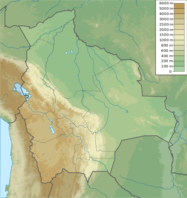
Map showing the location of Jach'a Kunturiri north-east of Kunturiri
Jach'a Kunturiri (Aymara jach'a big, kunturi condor,[2] -ri a suffix, Hispanicized spelling Jachcha Condoriri) is a 5,326-metre-high (17,474 ft) mountain in the Andes of Bolivia. It is situated in the Oruro Department, Sajama Province, Curahuara de Carangas Municipality, Sajama Canton, near the border to the La Paz Department. Jach'a Kunturi lies north-east of the mountains Kunturiri and Jisk'a Kunturiri and north-west of the extinct Sajama volcano.[1][3]
See also
References
- 1 2 BIGM map 1:50,000 Okoruro 5840-III
- ↑ aymara.ucb.edu.bo Félix Layme Payrumani, Spanish-Aymara dictionary
- ↑ "Curahuara de Carangas". Archived from the original on November 11, 2014. Retrieved September 17, 2014.
This article is issued from Wikipedia - version of the 7/21/2016. The text is available under the Creative Commons Attribution/Share Alike but additional terms may apply for the media files.