Iconi Airport
For the German Photographer, see Yva.
| Iconi Airport | |||||||||||
|---|---|---|---|---|---|---|---|---|---|---|---|
|
IATA: YVA – ICAO: | |||||||||||
| Summary | |||||||||||
| Airport type | Public | ||||||||||
| Serves | Moroni, Comoros | ||||||||||
| Elevation AMSL | 10 m / 33 ft | ||||||||||
| Coordinates | 11°42′45″S 043°14′33″E / 11.71250°S 43.24250°ECoordinates: 11°42′45″S 043°14′33″E / 11.71250°S 43.24250°E | ||||||||||
| Map | |||||||||||
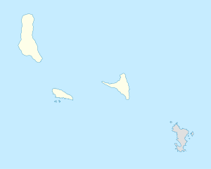 YVA Location of the airport in Comoros | |||||||||||
| Runways | |||||||||||
| |||||||||||
|
Source: [1] | |||||||||||
Iconi Airport (IATA: YVA, ICAO: FMCN) was an airport located in Moroni,[1] the capital city of the Comoros islands. The airport was on the western side of the island of Grande Comore, north of the town of Iconi. It was closed a few years ago in favor of the new Prince Said Ibrahim International Airport.
Facilities
The airport resides at an elevation of 33 feet (10 m) above mean sea level. It has one runway which is 1,355 metres (4,446 ft) in length.[1]
References
- 1 2 3 Airport information for Moroni, Comoros (FMCN / YVA) at Great Circle Mapper.
External links
This article is issued from Wikipedia - version of the 12/4/2016. The text is available under the Creative Commons Attribution/Share Alike but additional terms may apply for the media files.