Ibri
| Ibri | |
|---|---|
| Town | |
|
Ancient Ibri Walls | |
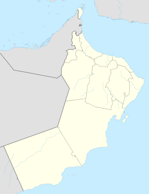 Ibri Location in Oman | |
| Coordinates: 23°14′11″N 56°30′16″E / 23.23639°N 56.50444°ECoordinates: 23°14′11″N 56°30′16″E / 23.23639°N 56.50444°E | |
| Country |
|
| Region | Ad Dhahirah |
| Population (2003) | |
| • Total | 97,429 |
| Time zone | Oman Standard Time (UTC+4) |

Ibri (Arabic: عبري) is a city in the region Az Zahirah, in northwest Oman.
Wilayat Ibri
The Wilayat of Ibri is distinguished by its archaeological landmarks including forts, castles, and towers. In 1979 the largest metal hoard in the ancient Near East came to light in Ibri/Selme. Also, there are the remains of the town of Bat, which is the second archaeological site to be classified by UNESCO on the list of world heritage and culture sites, after the Bahla Fort in the A’Dakhliya district. Ibri is 2 hours distance from Al Ain. It is located at a distance of 135 miles (217 km) from the capital Muscat.

Climate
Weather in Ibri is usually hot and dry, with temperature in summers ranging from 32 to 52 °C (90 to 126 °F). From December to February the weather is relatively cooler, with temperatures ranging from 10 to 20 °C (50 to 68 °F).
Economy
.jpg)
Historically, Ibri was known for its market and for fruit.[1]
Education
Ibri also has Ibri College of Technology (http://www.ibrict.edu.om), and a College of Applied Sciences.
See also
- Railway stations in Oman - planned 2015
- Biladhi Shuhoom
References
| Wikivoyage has a travel guide for Ibri. |
Articles
- P. Yule–G. Weisgerber, The Metal Hoard from ʿIbrī/Selme, Sultanate of Oman. Präh. Bronzefunde XX.7, Stuttgart 2001, ISBN 3-515-07153-9
- Magazine Article on Ibri