Hunderup
| Hunderup | |
|---|---|
| Neighbourhood | |
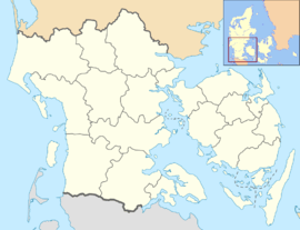 Hunderup Location in the Region of Southern Denmark | |
| Coordinates: 55°22′59″N 10°22′59″E / 55.38306°N 10.38306°ECoordinates: 55°22′59″N 10°22′59″E / 55.38306°N 10.38306°E | |
| Country | Denmark |
| Region | Southern Denmark |
| Municipality | Odense Municipality |
| Time zone | CET (UTC+1) |
| • Summer (DST) | CEST (UTC+2) |
Hunderup is a central-southern neighbourhood of Odense, in Funen, Denmark.[1]
References
- ↑ "Lokalplaner - find den lokalplan du søger". Odense.dk. Retrieved 9 July 2014.
This article is issued from Wikipedia - version of the 8/9/2014. The text is available under the Creative Commons Attribution/Share Alike but additional terms may apply for the media files.