Huanghuachang
Huanghuachang section
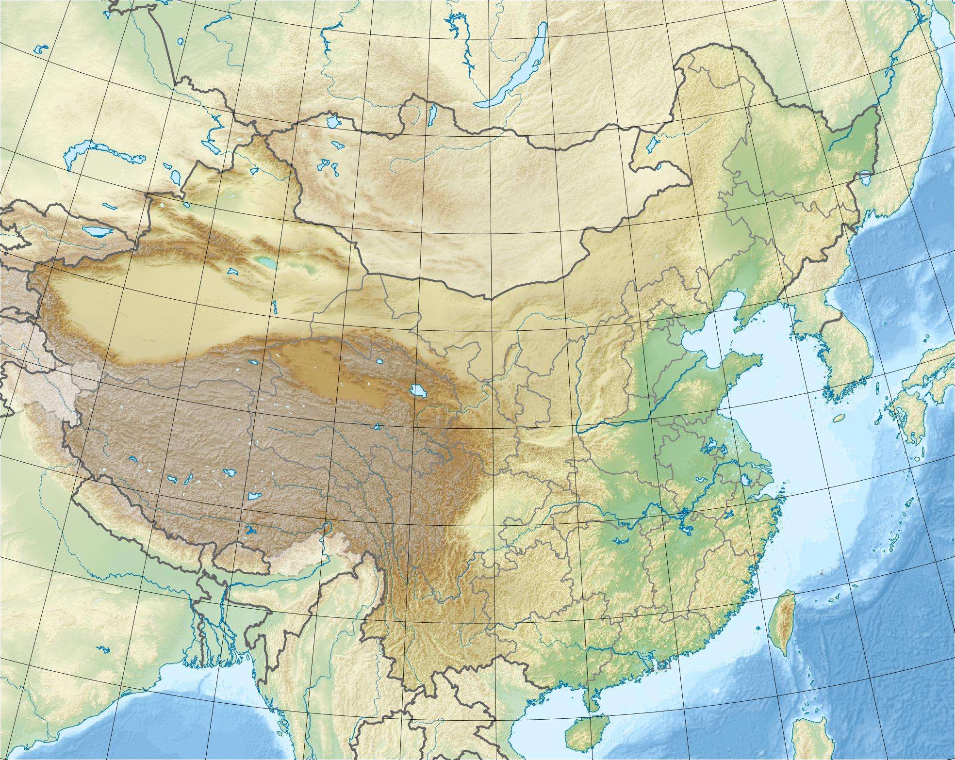
Map of China showing the GSSP location.
Huanghuachang (Chinese: 黄花场村; pinyin: Huanghuachang cun) is a village in Huanghua, Yiling, Yichang, Hubei, China.
An outcrop of sedimentary rock from the Ordovician has made Huanghuachang famous in the earth science community. The "Huanghuachang section" (30°51′38″N 111°22′26″E / 30.8605°N 111.3740°E) is an outcrop of the Dawan Formation in which the official base of the Dapingian stage is defined.[1]
References
- ↑ "GSSP for Dapingian Stage". Retrieved 12 November 2012. Note: there is an apparent typo in the article referenced; they give the coordinates as "a latitude of 30°51’37.8"N and a longitude of 110°22’26.5"E", but their map and location description better corresponds to 30°51’37.8"N 111°22’26.5"E.
This article is issued from Wikipedia - version of the 7/1/2015. The text is available under the Creative Commons Attribution/Share Alike but additional terms may apply for the media files.