Howraghat
| Howraghat হাওৰাঘাট (Hawar-Kehat) | |
|---|---|
| town | |
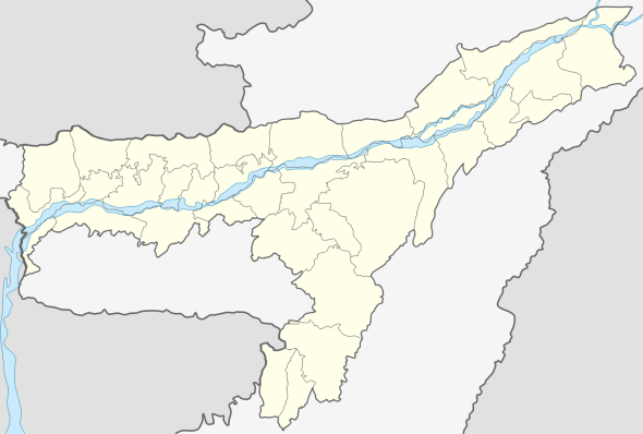 Howraghat  Howraghat Location in Assam, India | |
| Coordinates: 26°05′14″N 93°08′17″E / 26.08722°N 93.13806°ECoordinates: 26°05′14″N 93°08′17″E / 26.08722°N 93.13806°E | |
| Country |
|
| State | Assam |
| District | Karbi Anglong |
| Government | |
| • Body | Howraghat Town Committee |
| Population (2001) | |
| • Total | 4,659 |
| Languages | |
| • Official | English, Assamese |
| • Regional | Karbi |
| Time zone | IST (UTC+5:30) |
| Vehicle registration | AS |
Howraghat (IPA: ˈhɑʊrəˌgɑːt) is a town in the Karbi Anglong district of India's state of Assam. It is home to many indigenous communities mainly Karbi, Dimasa, Bodo, Ahom, etc.
Etymology
The name "Howraghat" came from portmanteau of two Karbi words hawar (area) and kehat (crossing), therefore the meaning is "crossing the area", basically crossing the river (present) in the area. However over the age the name changed to "Howra-ghat" due to differences in pronunciation by various new communities living and settling in and around the area.
Demographics
As of 2001 India census,[1] Howraghat had a population of 4659. Males constitute 58% of the population and females 42%. Howraghat has an average literacy rate of 80%, higher than the national average of 59.5%: male literacy is 85%, and female literacy is 73%. In Howraghat, 11% of the population is under 6 years of age.
Education
- Ambika Academy
- Atur Kimi English School
- Howraghat College
- Howraghat Higher Secondary School
- Howraghat English Medium High School
- Howraghat Town Girls High School
- National English School
- Pan Engti ME School
- Srimanta Shankardeva Vidyalay
- Shankar dev shisu vidya Niketan
Politics
Howraghat is part of Autonomous District (Lok Sabha constituency).[2]
References
- ↑ "Census of India 2001: Data from the 2001 Census, including cities, villages and towns (Provisional)". Census Commission of India. Archived from the original on 2004-06-16. Retrieved 2008-11-01.
- ↑ "List of Parliamentary & Assembly Constituencies" (PDF). Assam. Election Commission of India. Retrieved 2008-10-05.