Houton
| Houton | |
 The Bay of Houton, showing ferry terminal and lobster pots |
|
 Houton |
|
| OS grid reference | HY317041 |
|---|---|
| Civil parish | Orphir |
| Council area | Orkney Islands |
| Lieutenancy area | Orkney Islands |
| Country | Scotland |
| Sovereign state | United Kingdom |
| Post town | ORKNEY |
| Postcode district | KW17 |
| Dialling code | 01856 |
| Police | Scottish |
| Fire | Scottish |
| Ambulance | Scottish |
| EU Parliament | Scotland |
| UK Parliament | Orkney and Shetland |
| Scottish Parliament | Orkney |
Coordinates: 58°55′05″N 3°11′10″W / 58.918°N 3.186°W
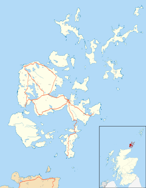
Houton is a settlement 5 miles (8.0 km) southeast of Stromness on the island of Mainland, Orkney, Scotland. The settlement is within the parish of Orphir,[1] and is situated on a minor road off the A964.[2]
From here, a ferry sails to Lyness on Hoy and the oil terminal at Flotta. Nearby are the remains of the round church of St Nicholas (the only medieval round church in Scotland) and the Earl's Bu, the ruins of a former manor house of the Earldom of Orkney. These sites are in the care of Historic Scotland.
The Holm of Houton is nearby.
RAF Houton
RAF Houton was situated nearby and was home to the following units:
- No. 306 (Flying Boat) Flight.[3]
- No. 430 (Seaplane) Flight.[4]
- 'F' Boat Seaplane Training Flight was formed on 15 August 1918 and operated the Felixstowe F.3 and the Curtiss H.16 before being disbanded on 25 November 1918.[5]
- Orkney Wing.[6]
References
- ↑ "Details of Houton". Gazetteer for Scotland. Retrieved 1 January 2014.
- ↑ "A964". Sabre. Retrieved 1 January 2014.
- ↑ Lake, A (1999). Flying units of the RAF. Shrewsbury: Airlife. p. 72. ISBN 1-84037-086-6.
- ↑ Lake, A (1999). Flying units of the RAF. Shrewsbury: Airlife. p. 76. ISBN 1-84037-086-6.
- ↑ Lake, A (1999). Flying units of the RAF. Shrewsbury: Airlife. p. 66. ISBN 1-84037-086-6.
- ↑ "Houton Bay (also Kite Balloon Base)". Airfields of Britain Conservation Trust. Retrieved 29 October 2013.
External links
| Wikimedia Commons has media related to Houton. |
This article is issued from Wikipedia - version of the 11/21/2015. The text is available under the Creative Commons Attribution/Share Alike but additional terms may apply for the media files.