Hof, Iceland
| Hof | |
|---|---|
|
Wood and turf Church at Hof. | |
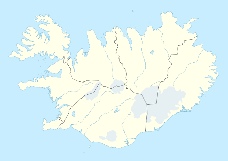 Hof Location in Iceland | |
| Coordinates: 63°54′24″N 16°42′26″W / 63.90667°N 16.70722°W | |
| Country |
|
| Constituency | South |
| Region | Eastern Region |
| County | Austur-Skaftafellssýsla |
| Municipality | Sveitarfélagið Hornafjörður |
| Elevation | 300 ft (100 m) |
| Time zone | GMT (UTC+0) |
| Post Code | 785 |

Hof, in Öræfi, is a cluster of farms in the municipality of Sveitarfélagið Hornafjörður in southeast Iceland, close to Vatnajökull glacier, and twenty two kilometres south of Skaftafell in Vatnajökull National Park. It is located on the Route 1 southwest of Höfn, in the narrow strip between the sea coast and the glacier.
A notаble building in Hof is a turf church, which was built in 1883 and is the youngest turf church in Iceland. Since 1951, it belongs to the National Museum of Iceland.[1]
References
![]() Media related to Hof í Öræfum at Wikimedia Commons
Media related to Hof í Öræfum at Wikimedia Commons
This article is issued from Wikipedia - version of the 1/27/2016. The text is available under the Creative Commons Attribution/Share Alike but additional terms may apply for the media files.