Hella, Iceland
| Hella | |
|---|---|
| Town | |
|
Hella in 2011 | |
 Location of the Municipality of Rangárþing ytra | |
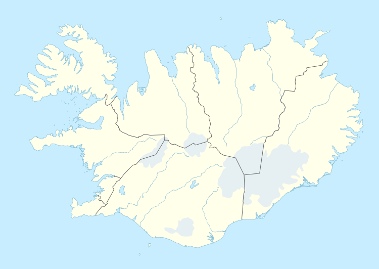 Hella Location in Iceland | |
| Coordinates: 63°50′N 20°24′W / 63.833°N 20.400°W | |
| Country |
|
| Constituency[1] | South Constituency |
| Region[2] | Southern Region |
| Municipality | Rangárþing ytra |
| Population (2011) | |
| • Total | 781 |
| Time zone | GMT (UTC+0) |
| Post Code | 850, 851 |

Hella (Icelandic pronunciation: [ˈhɛtl̥a]) is a small town in southern Iceland on the shores of the river Ytri-Rangá and has, as of 2011, 781 inhabitants.
Hella is situated 94 kilometres (58 mi) to the east of Reykjavík on the Hringvegur (Route 1) between Selfoss and Hvolsvöllur.
Overview
The name of the town comes from caves near the river. It is said that Irish monks lived there in the times of first settlement. There are small industries as well as shops. As in other regions of the country, tourism is a growing sector. The volcano Hekla is nearby so it is possible to go hiking there as well as to make excursions to other tourist attractions such as Landmannalaugar or Þórsmörk.The founding of Hella started in 1927 when Þorsteinn Björnsson built a store over by the bridge Ytri-Rangá in the land of Gaddstaðaflatir. That founder of Hella was built a memorial at the celebration of Hella's 50 years since the founding of it at 1977.
See also
References
Coordinates: 63°50′N 20°24′W / 63.833°N 20.400°W