Hatteng
| Hatteng Háhtta Hattu | |
|---|---|
| Village | |
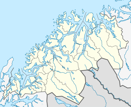 Hatteng  Hatteng Location in Troms | |
| Coordinates: 69°16′14″N 19°57′34″E / 69.27056°N 19.95944°ECoordinates: 69°16′14″N 19°57′34″E / 69.27056°N 19.95944°E | |
| Country | Norway |
| Region | Northern Norway |
| County | Troms |
| District | Nord-Troms |
| Municipality | Storfjord |
| Elevation[1] | 15 m (49 ft) |
| Time zone | CET (UTC+01:00) |
| • Summer (DST) | CEST (UTC+02:00) |
| Post Code | 9046 Oteren |
Hatteng (Northern Sami: Háhtta; Kven: Hattu) is the administrative centre of the municipality of Storfjord in Troms county, Norway. The village is located along the European route E06 highway at the southern end of the Storfjorden, a branch of the large Lyngenfjorden. Storfjord Church is located in Hatteng.
Hatteng sits about 20 kilometres (12 mi) northeast of the village of Nordkjosbotn (in Balsfjord) and about 33 kilometres (21 mi) northwest of the Treriksröset cairn where the borders of Norway, Sweden, and Finland meet.
Immediately west of Hatteng lies the village of Oteren.
References
This article is issued from Wikipedia - version of the 8/5/2016. The text is available under the Creative Commons Attribution/Share Alike but additional terms may apply for the media files.