Hastings Airport (Sierra Leone)
For other airports named Hastings, see Hastings Airport (disambiguation).
| Hastings Airport | |||||||||||
|---|---|---|---|---|---|---|---|---|---|---|---|
| IATA: HGS – ICAO: GFHA | |||||||||||
| Summary | |||||||||||
| Serves | Freetown | ||||||||||
| Location |
| ||||||||||
| Elevation AMSL | 60 ft / 18 m | ||||||||||
| Coordinates | 8°23′40″N 13°07′42″W / 8.39444°N 13.12833°WCoordinates: 8°23′40″N 13°07′42″W / 8.39444°N 13.12833°W | ||||||||||
| Map | |||||||||||
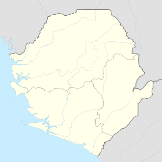 HGS Location of airport in Sierra Leone | |||||||||||
| Runways | |||||||||||
| |||||||||||
Hastings Airport (IATA: HGS, ICAO: GFHA) is an airport serving Freetown,[1] the capital city of Sierra Leone, a country in West Africa
Facilities
The airport resides at an elevation of 60 feet (18 m) above mean sea level. It has one runway designated 08/26 with an asphalt surface which is 960 metres (3,150 ft) in length.[1]
Airlines and destinations
| Airlines | Destinations |
|---|---|
| Eagle Air | Bo, Freetown-Lungi, Kenema, Yengema[3] Charter: Banjul, Conakry, Dakar, Gbangbatok, Kono, Monrovia |
References
- 1 2 3 Airport information for Freetown, Sierra Leone (GFHA / HGS) at Great Circle Mapper.
- ↑ Google Maps - Hastings
- ↑ "Eagle Air - Sierra Leone domestic scheduled air services". SierraLeoneTravel.com). Retrieved June 18, 2012.
External links
This article is issued from Wikipedia - version of the 12/4/2016. The text is available under the Creative Commons Attribution/Share Alike but additional terms may apply for the media files.