Harouf
| Harouf حاروف | |
|---|---|
| village | |
 Harouf Location in Lebanon | |
| Coordinates: 33°22′N 35°27′E / 33.367°N 35.450°ECoordinates: 33°22′N 35°27′E / 33.367°N 35.450°E | |
| Grid position | 122/160 L |
| Country |
|
| Governorate | Nabatieh Governorate |
| District | Nabatieh District |
| Time zone | EET (UTC+2) |
| • Summer (DST) | +3 (UTC) |
Harouf (in Arabic حاروف) is a village in the Nabatieh Governorate region of southern Lebanon and is located north of the Litani River. The village is economically important due to the presence of a famous industrial area in it known as "Marj Harouf".
History
In the 1596 tax records, it was named as a village, Haruf, in the Ottoman nahiya (subdistrict) of Sagif under the liwa' (district) of Safad, with a population of 12 households, all Muslim. The villagers paid a fixed tax-rate of 25 % on agricultural products, such as wheat, barley, fruit trees, goats and beehives, in addition to "occasional revenues"; a total of 2,459 akçe.[1][2]
In 1875, Victor Guérin found Haroun to be a village of about 140 Metualis. He further noted several sarcophagi, convincing him that it was an ancient place.[3]
References
Bibliograhy
- Guérin, Victor (1880). Description Géographique Historique et Archéologique de la Palestine (in French). 3: Galilee, pt. 2. Paris: L'Imprimerie Nationale.
- Hütteroth, Wolf-Dieter; Abdulfattah, Kamal (1977). Historical Geography of Palestine, Transjordan and Southern Syria in the Late 16th Century. Erlanger Geographische Arbeiten, Sonderband 5. Erlangen, Germany: Vorstand der Fränkischen Geographischen Gesellschaft. ISBN 3-920405-41-2.
- Rhode, Harold (1979). Administration and Population of the Sancak of Safed in the Sixteenth Century. Columbia University.
External links
- Harouf (Nabatiyeh), Localiban
| Capital | 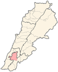 | |
|---|---|---|
| Towns and villages |
| |
| Other | ||