Harllee Branch Power Plant
| Plant Harllee Branch | |
|---|---|
 Power plant chimney | |
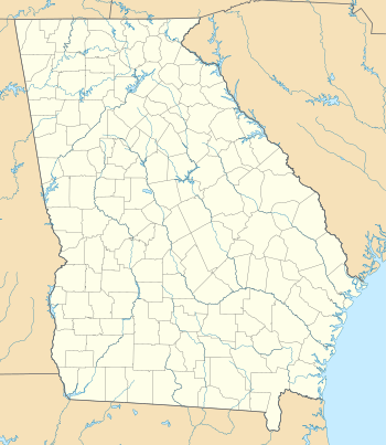 Location of Plant Harllee Branch in Georgia (U.S. state) | |
| Country | United States |
| Location | Putnam County, near Eatonton, Georgia |
| Coordinates | 33°11′38″N 83°17′59″W / 33.19389°N 83.29972°WCoordinates: 33°11′38″N 83°17′59″W / 33.19389°N 83.29972°W |
| Commission date | 1961 |
| Owner(s) | Georgia Power |
| Thermal power station | |
| Primary fuel | Coal |
| Power generation | |
| Units operational | 4 |
| Nameplate capacity | 1.539 MW (2,064 hp) |
Plant Harllee Branch was a coal-fired power station located in southeastern Putnam County, just southeast of Eatonton, Georgia, USA. It was located about halfway between Eatonton and Milledgeville, to the southeast. The power plant was owned and operated by Georgia Power. It was named after Harllee Branch Jr., president of Georgia Power.
The power plant had one of the tallest chimneys in the world, built in 1978. The chimney stood 1,001-foot tall (305 m), and was visible, on clear days, up to approximately 10 to 20 miles (16 to 32 km) away. Many boaters used the chimney to navigate Lake Sinclair, because the power plant was located at US 441, and was a central point on the lake.
Georgia Power closed this plant in August 2015.
The demolition of the chimney was scheduled for October 9, 2016[1] but was postponed due to Hurricane Matthew. On October 15, shortly after 8 AM, a controlled demolition took down the stack.