Hampole
| Hampole | |
 Hampole |
|
| Population | 203 (Including Skelbrooke. 2011) |
|---|---|
| Metropolitan borough | Doncaster |
| Metropolitan county | South Yorkshire |
| Region | Yorkshire and the Humber |
| Country | England |
| Sovereign state | United Kingdom |
| Post town | DONCASTER |
| Postcode district | DN6 |
| Dialling code | 01302 |
| Police | South Yorkshire |
| Fire | South Yorkshire |
| Ambulance | Yorkshire |
| EU Parliament | Yorkshire and the Humber |
| UK Parliament | Doncaster North |
Coordinates: 53°35′10″N 1°14′15″W / 53.586016°N 1.237426°W
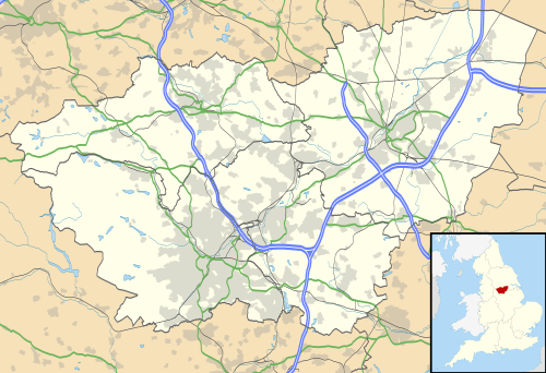
Hampole is a small village and civil parish in the Metropolitan Borough of Doncaster (part of South Yorkshire, England), on the border with West Yorkshire. Historically part of the West Riding of Yorkshire, the eastern boundary of the parish is marked by the Great North Road, and the parish lies in what was once the Barnsdale Forest. It had a population of 187 in 2001,[1] increasing to 203 at the 2011 Census.[2]
Hampole railway station opened in January 1885 and closed on 7 January 1952.
The parish includes the villages of Hampole, Skelbrooke and Barnsdale.
By the A1 road, near Skelbrooke, is Robin Hood's Well, with its stone cover designed by John Vanbrugh. There is also a Little John's Well to the west of Hampole village.
Hampole lies about two miles north west of the model village of Woodlands; and of Highfields Wood, where there is a brook known as Robin Hood's Brook.
See also
References
- ↑ Office for National Statistics : Census 2001 : Parish Headcounts : Doncaster Retrieved 2009-08-27
- ↑ "Civil Parish population 2011". Neighbourhood Statistics. Office for National Statistics. Retrieved 7 March 2016.
External links
![]() Media related to Hampole at Wikimedia Commons
Media related to Hampole at Wikimedia Commons