Hambleton
Coordinates: 54°20′02″N 1°25′44″W / 54.334°N 1.429°W
| Hambleton District | ||
|---|---|---|
| District | ||
| ||
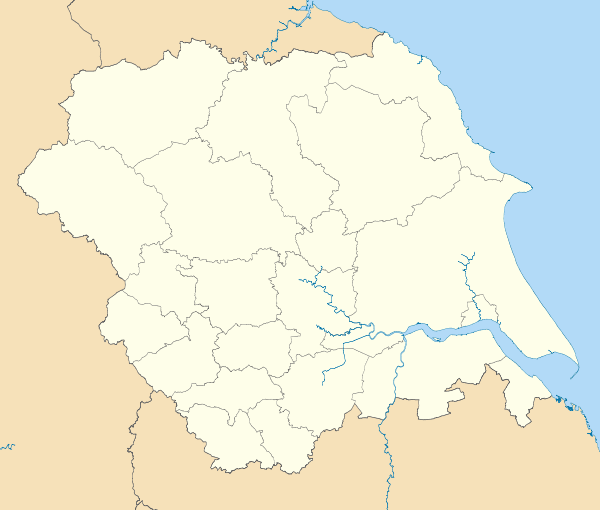
 Shown within North Yorkshire | ||
| Sovereign state | United Kingdom | |
| Constituent country | England | |
| Region | Yorkshire and the Humber | |
| Administrative county | North Yorkshire | |
| Admin. HQ | Northallerton | |
| Government | ||
| • Type | Hambleton District Council | |
| • Leadership: | Leader & Cabinet | |
| • Executive: | Conservative | |
| • MPs: |
Rishi Sunak, Kevin Hollinrake | |
| Area | ||
| • Total | 506 sq mi (1,311 km2) | |
| Area rank | 14th | |
| Population (mid-2014 est.) | ||
| • Total | 89,828 | |
| • Rank | Ranked 265th | |
| • Density | 180/sq mi (69/km2) | |
| Time zone | Greenwich Mean Time (UTC+0) | |
| • Summer (DST) | British Summer Time (UTC+1) | |
| ONS code |
36UC (ONS) E07000164 (GSS) | |
| Ethnicity | 99.2% White | |
| Website | hambleton.gov.uk | |

Hambleton is a local government district of North Yorkshire, England. The main town and administrative centre is Northallerton, and includes the market towns and major villages of Bedale, Thirsk, Great Ayton, Stokesley and Easingwold.
The district was formed by the Local Government Act 1972 on 1 April 1974, as a merger of the urban district of Northallerton with Bedale Rural District, Easingwold Rural District, Northallerton Rural District, and part of Thirsk Rural District, Stokesley Rural District and Croft Rural District, all in the North Riding of Yorkshire.
The district is named after the Hambleton Hills, part of the North York Moors National Park, on the eastern edge of the district. This area is the subject of a national habitat protection scheme as articulated in the United Kingdom's Biodiversity Action Plan.
Geography

Hambleton covers an area of 1,311.17 km² most of which, 1,254.90 km², is green space.[1] The district is named after the Hambleton Hills, part of the North York Moors National Park, on the eastern edge of the district. This area is the subject of a national habitat protection scheme as articulated in the United Kingdom's Biodiversity Action Plan.
Towns
Population Size
1. Northallerton
2. Thirsk
3. Bedale
4. Easingwold
Demographics


In 2007 Hambleton had an estimated population of 86,900 an increase of 3.2% on the population of 84,200 recorded in the 2001 UK census.[2] In the 2001 census 83% of respondents identified their religion as Christians above the national average for England which was 71.74%. No other religion accounted for more than 0.2% of the population; the next two largest groups of respondents were those with no religion, at 10.40%, and those who did not state a religion, at 6.14%.[3]
Energy policy
In May 2006, a report commissioned by British Gas[4] showed that housing in Hambleton produced the 8th highest average carbon emissions in the country at 7,242 kg of carbon dioxide per dwelling. Whilst this has come under some scrutiny, it is important to remember that due to the remote nature of the councils parishes (Great Langton, Scorton etc.) carbon emissions are likely to be high.
See also
References
- ↑ United Kingdom Census 2001 (2001). "Hambleton (Local Authority): Key Figures for Physical Environment". neighbourhood.statistics.gov.uk. Retrieved 10 December 2008.
- ↑ Performance, Research & Intelligence Team Chief Executive's Group (2007). "Population Estimates 2007 Parish" (pdf). Page 5. North Yorkshire County Council. Retrieved 9 December 2008.
- ↑ United Kingdom Census 2001 (2001). "Hambleton (Local Authority)". neighbourhood.statistics.gov.uk. Retrieved 9 December 2008.
- ↑ http://www.britishgasnews.co.uk/managed_content/files/pdf/greenCity.pdf britishgasnews.co.uk
Further reading
- Golisti K.O.M. (1998) Hambleton and its History. Ashdown Products. ISBN 0952195054
External links
| Wikimedia Commons has media related to Hambleton District. |