Haeju Airport
| Haeju Airport 해주공항 | |||||||||||
|---|---|---|---|---|---|---|---|---|---|---|---|
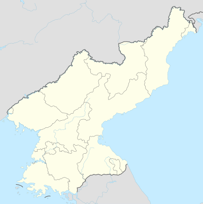 HAE Location of airport in North Korea | |||||||||||
| Summary | |||||||||||
| Airport type | Public | ||||||||||
| Operator | Korean People's Army and Air Koryo | ||||||||||
| Location | Haeju, South Hwanghae, North Korea | ||||||||||
| Elevation AMSL | 131 ft / 40 m | ||||||||||
| Coordinates | 38°00′23.60″N 125°46′43.80″E / 38.0065556°N 125.7788333°E | ||||||||||
| Runways | |||||||||||
| |||||||||||
| Haeju Airport | |
| Chosŏn'gŭl | 해주공항 |
|---|---|
| Hancha | 海州空港 |
| Revised Romanization | Haeju Gonghang |
| McCune–Reischauer | Haeju Konghang |
Haeju Airport is an airport located in Haeju, South Hwanghae, North Korea. Haeju Airport is controlled by the Korean People's Army. The airport mainly operates military flights but also has a limited number of civilian flights. This airport is notorious to South Korean intelligence authorities, because former North Korean Intelligence agents frequently use it as a transfer point . The single runway 12/30 is 6200x289 ft (1890x88 m).
History
In the period from June 1946 to November 1948 it was used as a base for parts of the 250th Fighter Division.[1] During the Korean War, the US Army designated as K-19. During the Korean War the USAF designated the airfield as K-19.
Airlines and destinations
Passenger
| Airlines | Destinations |
|---|---|
| Air Koryo | Chongjin, Pyongyang, Wonsan |
Cargo
| Airlines | Destinations |
|---|---|
| Air Koryo | Pyongyang |
References
- ↑ Анохин В. А., Быков М. Ю. Все истребительные авиаполки Сталина. Первая полная энциклопедия. — Научно-популярное издание. — М.: Яуза-пресс, 2014. — 944 с. — 1500 экз. — ISBN 978-5-9955-0707-9
Coordinates: 38°00′20″N 125°46′43″E / 38.005430°N 125.778630°E