Hīt
| Hīt Arabic: هيت | |
|---|---|
| City | |
|
Hit in 2004 | |
 Hīt | |
| Coordinates: 33°38′42″N 42°49′35″E / 33.64500°N 42.82639°ECoordinates: 33°38′42″N 42°49′35″E / 33.64500°N 42.82639°E | |
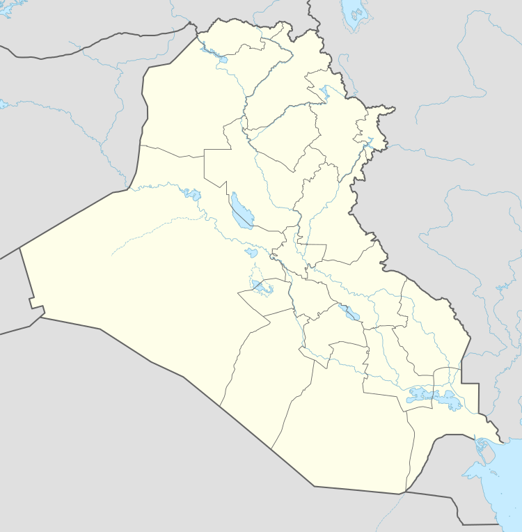
| Country |
|
| Province | Al-Anbar |
| District | Hīt District |
| Population (2013) | |
| • Total | 95,800 |
| Time zone | GMT+3 (UTC+3) |
| Postal code | 31007 |
| Ancient name | Is |

Hīt, also spelled Heet (Arabic: هيت), ancient name Is, is an Iraqi city in Al-Anbar province. Hīt lies northwest of Ramadi, the provincial capital.
On the Euphrates River, Hīt is a small walled town built on two mounds on the site of the ancient city of Is. In ancient times, the town was known for its bitumen wells, which were used as far back as 3,000 years ago, to include building of Babylon and for caulking boats. Hīt also became a frontier fortress for Assyria. Now, Hīt is a marketplace for agricultural produce and oil pipelines to the Mediterranean Sea cross the Euphrates there. It was regarded as the head of navigation on the river before the decline in river traffic.[1]
In October 2014, the city had fallen to the Islamic State of Iraq and the Levant.[2] An offensive was launched in February 2016 by the Iraqi Army and allied forces to liberate the city. The Iraqi Army, backed by U.S. airstrikes, took the city of Hīt from ISIL on 14 April 2016.[3]
Gallery
.jpg) Hit, Iraq, 2004
Hit, Iraq, 2004 Kubaisa Oasis, 2003
References
| Wikimedia Commons has media related to Hīt. |
- ↑ "Hīt". The New Encyclopædia Britannica. V. Chicago: Encyclopædia Britannica, Inc. 1980. p. 66.
- ↑ http://america.aljazeera.com/articles/2014/12/13/isil-al-wafa-attack.html
- ↑ agencies, The New Arab &. "Iraqi forces recapture key town from IS militants". alaraby. Retrieved 2016-04-14.