Härmelekopf
| Härmelekopf | |
|---|---|
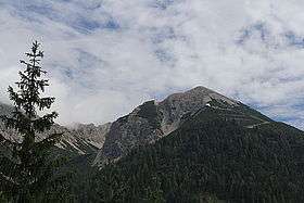 The Härmelekopf seen from the Rosshütte area to the north. | |
| Highest point | |
| Elevation | 2,224 m (AA) [1] |
| Coordinates | 47°18′30″N 11°13′41″E / 47.30833°N 11.22806°ECoordinates: 47°18′30″N 11°13′41″E / 47.30833°N 11.22806°E |
| Geography | |
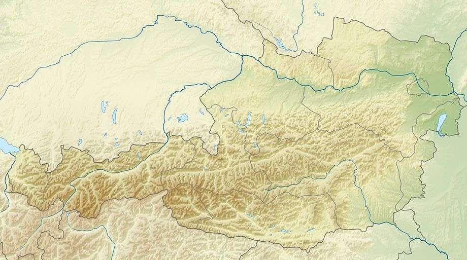 Härmelekopf near Seefeld; Innsbruck Land, Tyrol (Austria) | |
| Parent range | Karwendel |
The Härmelekopf is a mountain northeast of Seefeld in Tirol in the Karwendel Alps in the Austrian state of Tyrol. It is 2,224 metres high.[2]
Ascent
About 400 metres from the summit of the Härmelekopf is the top station of the Härmelekopfbahn cable car, from where there is a steep and difficult path to the top which then continues along an arête to the Reither Spitze.[2] Another easier path leads from the top station and then forks, the left branch making for the Reither Scharte and the right branch for the Nördlinger Hut.[2]
Industry
On the western side of the mountain, at between 1,500 and 1,700 metres, are the remains of old mine workings.[2]
Skiing
The western side of the Härmelekopf is also part of the Rosshütte ski area. In addition to the cable car from the Rosshütte itself, there are lifts from Seefeld (the Hochangerbahn) and the Reiterjoch Alm (the Reiteralmbahn).[2]
References
- ↑ Bundesamt für Eich- und Vermessungswesen (BEV): Topographic map of Austria at AMAP online
- 1 2 3 4 5 Seefeld Leutasch 1:25,000 hiking map, Wanderland-Verlag, 4th edn., 2011.