Gyland
| Gyland | |
|---|---|
| Village | |
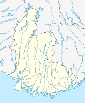 Gyland  Gyland Location of the village | |
| Coordinates: 58°25′50″N 06°50′22″E / 58.43056°N 6.83944°ECoordinates: 58°25′50″N 06°50′22″E / 58.43056°N 6.83944°E | |
| Country | Norway |
| Region | Southern Norway |
| County | Vest-Agder |
| District | Lister |
| Municipality | Sirdal |
| Elevation[1] | 129 m (423 ft) |
| Time zone | CET (UTC+01:00) |
| • Summer (DST) | CEST (UTC+02:00) |
| Post Code | 4436 Gyland |
Gyland is a village in the municipality of Flekkefjord in Vest-Agder county in Norway. It is located in the northeastern part of Flekkefjord along the river Gylandselva, just a short distance north of the lake Kumlevollvatnet. The Sørlandsbanen railway line runs just south of the village, stopping at Gyland Station. The local village church, Gyland Church, was located in the village until 1929 when it was moved about 3 kilometres (1.9 mi) to the southwest. Now a small chapel is located in Gyland where the old church was once standing.
Name
The municipality (originally the parish) was named after the old Gyland farm (Old Norse: Gýjuland), where Gyland Church was originally located. The first element is the old name of the river that flows past the farm (Old Norse: Gýja or Gý) and the last element is land which means "land".[2]
References
- ↑ "Gyland, Flekkefjord (Vest-Agder)". yr.no. Retrieved 2016-09-06.
- ↑ Rygh, Oluf (1912). Norske gaardnavne: Lister og Mandals amt (in Norwegian) (9 ed.). Kristiania, Norge: W. C. Fabritius & sønners bogtrikkeri. p. 339.
External links
- Weather information for Gyland (Norwegian)