Gwanda
| Gwanda | |
|---|---|
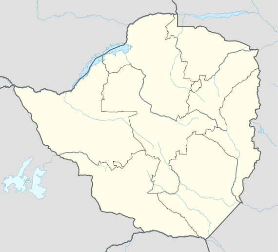 Gwanda Location in Zimbabwe | |
| Coordinates: 20°56′42″S 29°01′30″E / 20.94500°S 29.02500°E | |
| Country |
|
| Province | Matabeleland South |
| Districts of Zimbabwe | Gwanda District |
| Municipality | Gwanda Town Council |
| Government | |
| • Mayor | Lionel De Necker[1] |
| Elevation | 1,001 m (3,284 ft) |
| Population (2013) | |
| • Total | 13,339 |
| Climate | BSh |

Gwanda is a town in Zimbabwe. It is the capital of the province of Matabeleland South, one of the 10 administrative provinces in the country. The name Gwanda derives from the Ndebele word Kwanda. Gwanda's largest and oldest suburb derives its name from that of a nearby hill known as Jahunda. Gwanda also refers to the rural district around the town. Towns and districts surrounding Gwanda include Mbalabala, West Nicholson, Filabusi, Esigodini and Matobo.
Location
It is located approximately 122 kilometres (76 mi), by road, southeast of Bulawayo, the nearest large city.[2] This location lies on the Bulawayo-Beitbridge road and railway. The town of Beitbridge, at Zimbabwe's border with the Republic of South Africa, lies approximately 220 kilometres (140 mi), further southeast on Highway A-6.[3] The coordinates of Gwanda, Zimbabwe are: 20° 56' 42.00"S, 29° 01' 30.00"E (Latitude:20.9450; Longitude:29.0250). Gwanda sits at an average elevation of 3,284 feet (1,001 m) above sea level.[4]
Overview
Gwanda was founded in 1900. The town has a provincial hospital, Gwanda Provincial Hospital, which serves as a referral centre for nearby smaller mission and district hospitals. Services provided include emergency medicine, paediatrics, maternity, eye surgery, minor orthopaedic surgery, general surgery and an expanded immunisation program. he town is the chief centre for south-western Zimbabwe's cattle district and also trades in agricultural produce. There are asbestos, chrome and gold mines around Gwanda.[5]
One of the suburbs of the town is called Jahunda, which is also the name of a nearby hill, from which the town derives its name. Geanda has four primary schools: (a) Jahunda Primary school (b) St. Christopher's Primary School (c) Mount Cazalet Primary School and (d) Senondo Primary School. The two secondary schools are: (i) Gwanda High School and (ii) Gwanda Government Secondary School. There is a nursing school; Gwanda School of Nursing, affiliated with the provinciaal hospital. The main stadium is called Phelandaba Stadium. It is home to Njube Sundowns, a Zimbabwe premiere league football team. ZB Bank Limited maintains a branch in town.[6] Another commercial bank, Royal Bank Zimbabwe, also had a branch in Gwanda.[7]
Population
According to the 1982 Population Census, the town had a population of 4,874. The town chiefs refused to acknowledge the results of the 1992 census as they felt they had been undercounted. Officially, that disputed figure was 10,565. In 2004, the population of the town was estimated at 14,450.[8]
See also
External links
References
- ↑ Lionel De Necker Is Mayor
- ↑ Road Distance Between Bulawayo And Gwanda With Map
- ↑ Map Showing Gwanda And Beitbridge With Distance Marker
- ↑ Elevation of Gwanda
- ↑ Overview of Gwanda At Brittanica.com
- ↑ ZB Bank Opened Gwanda Branch In September 2011
- ↑ Branches of Royal Bank Zimbabwe
- ↑ Population of Gwanda, Zimbabwe In 2004
Coordinates: 20°56′42″S 29°01′30″E / 20.94500°S 29.02500°E