Gunsan Airport
| Gunsan Airport 군산공항 群山空港 Gunsan Gonghang Kunsan Konghang | |||||||||||
|---|---|---|---|---|---|---|---|---|---|---|---|
| IATA: KUV – ICAO: RKJK | |||||||||||
| Summary | |||||||||||
| Airport type | Public / Military | ||||||||||
| Operator |
Korea Airports Corporation United States Air Force Republic of Korea Air Force | ||||||||||
| Location | Gunsan, North Jeolla Province, South Korea | ||||||||||
| Elevation AMSL | 29 ft / 9 m | ||||||||||
| Coordinates | 35°54′13″N 126°36′57″E / 35.90361°N 126.61583°ECoordinates: 35°54′13″N 126°36′57″E / 35.90361°N 126.61583°E | ||||||||||
| Website |
gunsan | ||||||||||
| Map | |||||||||||
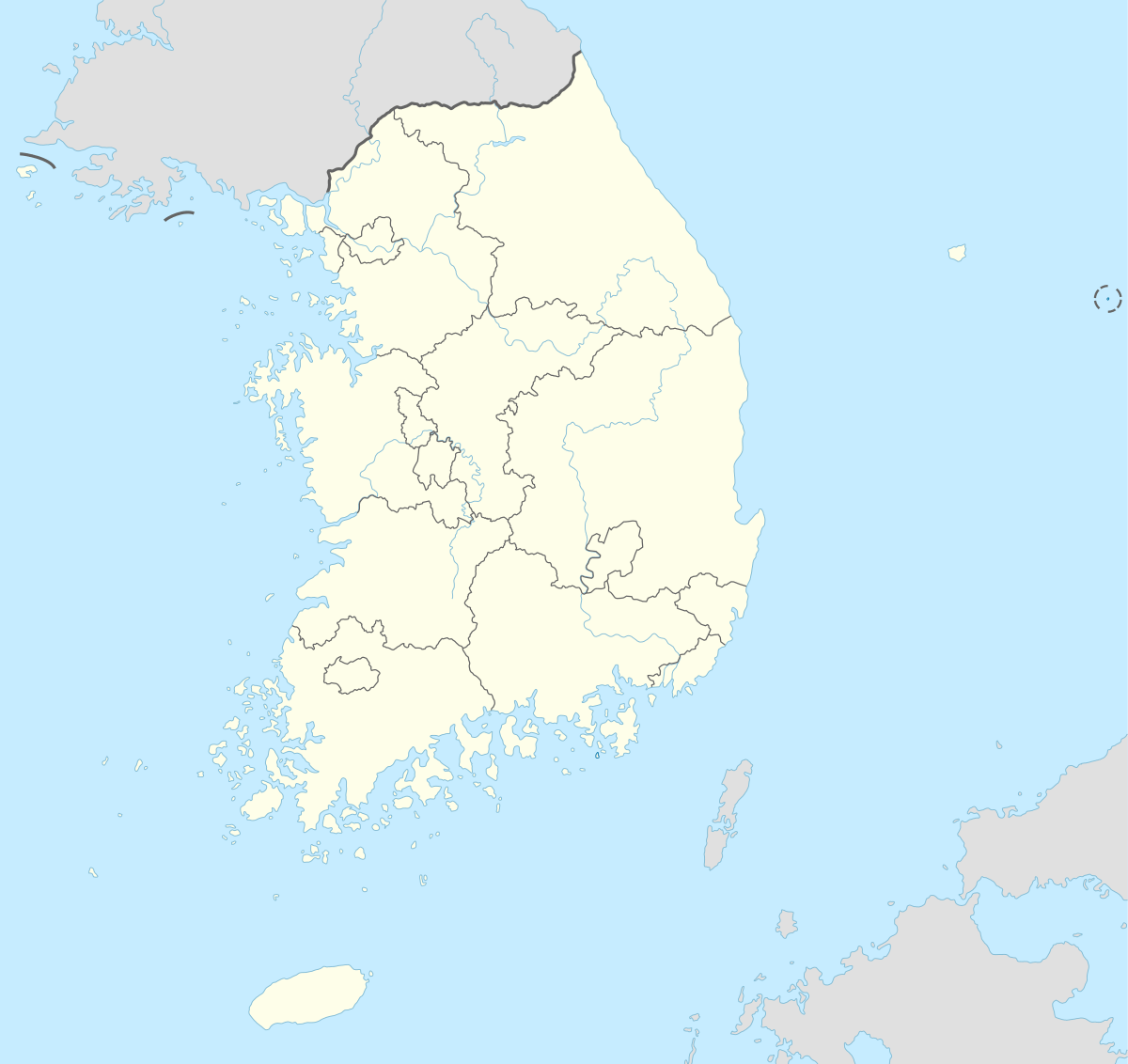 KUV Location of airport in South Korea | |||||||||||
| Runways | |||||||||||
| |||||||||||
| Statistics (2007) | |||||||||||
| |||||||||||
Gunsan Airport (Korean: 군산공항, Chinese: 群山空港) (IATA: KUV, ICAO: RKJK) is an airport serving Gunsan, a city in the North Jeolla Province in South Korea. In 2011, 172,327 passengers utilized the airport.[2] It shares the runway with Kunsan Air Base, which also utilizes the same IATA and ICAO location identifiers.
Facilities
The airport resides at an elevation of 29 feet (8.8 m) above mean sea level. It has one runway designated 18/36 with a concrete surface measuring 9,000 by 150 feet (2,743.2 m × 45.7 m).[1]
Airlines and destinations
| Airlines | Destinations |
|---|---|
| Eastar Jet | Jeju |
| Korean Air | Jeju |
See also
References
- 1 2 Airport information for RKJK from DAFIF (effective October 2006)
- 1 2 Air Traffic by Airport
External links
This article is issued from Wikipedia - version of the 12/4/2016. The text is available under the Creative Commons Attribution/Share Alike but additional terms may apply for the media files.