Gulangyu Subdistrict
| Gulangyu Subdistrict 鼓浪屿街道 | |
|---|---|
| Subdistrict | |
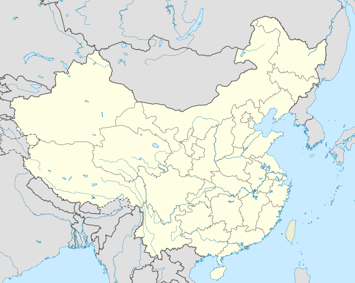 Gulangyu Subdistrict Location in China | |
| Coordinates: 24°26′51″N 118°3′45″E / 24.44750°N 118.06250°ECoordinates: 24°26′51″N 118°3′45″E / 24.44750°N 118.06250°E | |
| Country | People's Republic of China |
| Province | Fujian |
| Prefecture | Xiamen |
| District | Siming |
| Area | |
| • Total | 1.91 km2 (0.74 sq mi) |
| Population | |
| • Total | 15,373 |
| • Density | 8,000/km2 (21,000/sq mi) |
| Time zone | China Standard (UTC+8) |
| Area code(s) | 0592 |
| Gulangyu Subdistrict | |||||||||||||||
| Simplified Chinese | 鼓浪屿街道 | ||||||||||||||
|---|---|---|---|---|---|---|---|---|---|---|---|---|---|---|---|
| Traditional Chinese | 鼓浪嶼街道 | ||||||||||||||
| Hokkien POJ | Kó-lōng-sū Ke-lōu | ||||||||||||||
| |||||||||||||||
Gulangyu is a subdistrict or Street Committee under Siming District in the municipality of Xiamen, Fujian province, People's Republic of China. It is named for the island it encompasses.
Gulangyu covers an area of 1.91 square kilometres (0.74 sq mi), with a household population of 15,373.
History
Until 2003, Gulangyu was a district, one of four in the municipality not located on Xiamen Island. Thus Gulangyu had its own gong'an fenju (公安分局, roughly analogous to a Sheriff's Office) and Lower-level People's Lawcourt, as well as its own government.
In May of that year Gulangyu District was downgraded and, along with Kaiyuan District, absorbed into Siming, and has since been administered, policed, and adjudicated from Xiamen Island, just across the Lujiang River.