Grindon, Sunderland
| Grindon | |
 Grindon |
|
| Population | 10,000 |
|---|---|
| Metropolitan borough | City of Sunderland |
| Metropolitan county | Tyne and Wear |
| Region | North East |
| Country | England |
| Sovereign state | United Kingdom |
| Post town | SUNDERLAND |
| Postcode district | SR4 |
| Dialling code | 0191 |
| Police | Northumbria |
| Fire | Tyne and Wear |
| Ambulance | North East |
| EU Parliament | North East England |
| UK Parliament | Sunderland South |
|
|
Coordinates: 54°53′20″N 1°26′31″W / 54.889°N 1.442°W
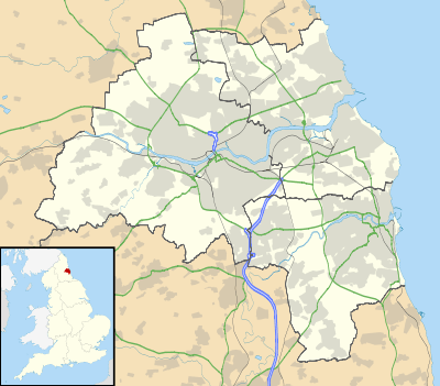
Grindon is a suburb of Sunderland, Tyne and Wear, in the United Kingdom.
Located three miles to the west of the city centre along Chester Road, Grindon is a densely populated area of Sunderland. It includes a wide variety of housing, from modern, newly built estates to massive post-war housing projects, built to house people whose homes were bombed during World War II.
In 2004 the electoral ward of Grindon was changed to include Thorney Close and is now known as the Sandhill Ward, a very safe Labour ward.
Pennywell Road is the location of the well-known independent school Grindon Hall Christian School.

Grindon, Sunderland.
This article is issued from Wikipedia - version of the 11/6/2016. The text is available under the Creative Commons Attribution/Share Alike but additional terms may apply for the media files.