Greater Ville, St. Louis
| The Greater Ville | |
|---|---|
| St. Louis neighborhood | |
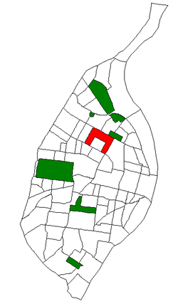 Location of the Greater Ville within St. Louis | |
| Country | United States |
| State | Missouri |
| City | St. Louis |
| Wards | 4, 21 |
| Area | |
| • Total | 0.96 sq mi (2.5 km2) |
| Population (2010)[1] | |
| • Total | 6,189 |
| • Density | 6,400/sq mi (2,500/km2) |
| ZIP code(s) | Parts of 63107, 63113, 63115 |
| Area code(s) | 314 |
| Website | stlouis-mo.gov |
The Greater Ville is a neighborhood of St. Louis, Missouri. The area is bounded by Marcus Avenue on the northwest, Natural Bridge Avenue on the northeast, Dr. Martin Luther King Drive and St. Louis Avenue on the south via North Taylor Avenue and Sarah Street, and North Vandeventer Avenue on the southeast. The Greater Ville surrounds The Ville.
Demographics
In 2010 Greater Ville's racial makeup was 97.4% Black, 0.7% White, 0.2% Native American, 1.4% Two or More Races, and 0.2% Some Other Race. 0.7% of the population was of Hispanic or Latino origin.[2]
References
Coordinates: 38°39′52″N 90°14′12″W / 38.6644°N 90.2366°W
This article is issued from Wikipedia - version of the 10/10/2016. The text is available under the Creative Commons Attribution/Share Alike but additional terms may apply for the media files.