Great Henny
| Great Henny | |
 Great Henny |
|
| Population | 187 |
|---|---|
| District | Braintree |
| Shire county | Essex |
| Region | East |
| Country | England |
| Sovereign state | United Kingdom |
| Post town | Sudbury Post Town |
| Postcode district | CO10 |
| Dialling code | 01787 |
| EU Parliament | East of England |
Coordinates: 52°00′25″N 0°43′08″E / 52.007°N 0.719°E

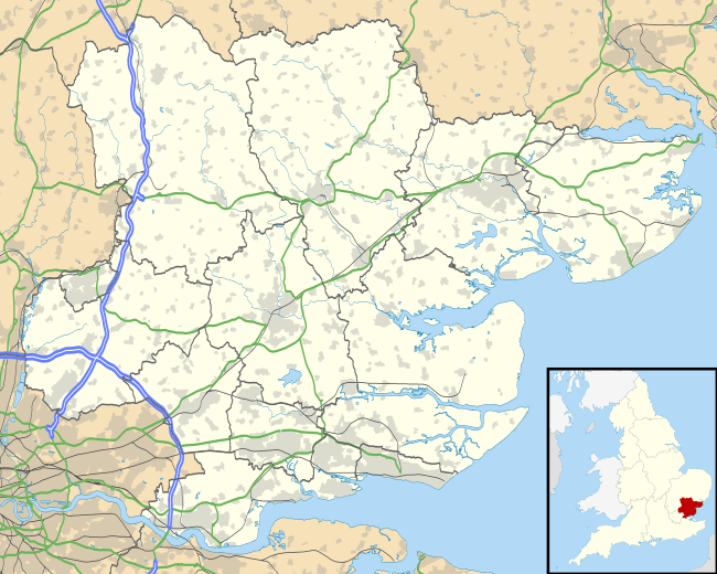
Great Henny is a village and a civil parish near Sudbury, in the Braintree district, in the county of Essex, England. Other nearby villages include Little Henny, Twinstead and Henny Street.
Location
The village is located in the South East of England,
- "on the river Stour and the Sudbury railway, at the boundary with Suffolk, 2 miles S of Sudbury r. station. Post town, Sudbury."[1] The county of Essex borders the UK counties of Suffolk, Cambridgeshire, Hertfordshire, London and the River Thames Estuary. Essex is situated to the North East of London, however the nearest city to Great Henny is the town of Chelmsford which is the only city to be situated in Essex.
St Mary's Church
St. Mary's Church is the only church within the parish, and is the Church of St. Mary the Virgin. The church is thought to have first been built in the 11th or 12th century and then later extended in the 14th century. The church is also registered as a Small Place of Pilgrimage.[2]
Housing
In the parish of Great Henny, information has showed that there has always been a small amount of housing in the area, with the highest number of houses between 1831 and 1961, according to census information, being 88 in 1851.[3] This number had slowly increased from 1831 however after 1851, the number of houses within the area began to slowly decrease and the census information in 1961 showed that in total there were 58 total houses in the area. This number had increased again, to 72 by the latest census which was taken in 2011.[4]

Population
According to the 2011 census, the population of Great Henny in that year was 191 people.[5] Census data tells us that the population of Great Henny has not fluctuated majorly over the past 200 years since 1811, when census data is available for Great Henny. Over each ten-year period when the census was taken between 1811 and 1951, the population decreased every year except from the year 1951 when the population increased by 3. During every other census, however, the population was seen to decrease, with the largest decline being in 1901, when the population had decreased by 78 from the previous census.[6] The total number of houses within the area can be seen to have decreased within the period of 1831-1961, when this data is available. In 1861, the total number of houses was 83, and while this remained steady and actually increased to 88 in 1881, the total number of households was seen to decrease every ten years when the census was taken and in 1961 there were only 58 houses in the area. This number, however, is an increase upon the lowest number of 43 houses which was in 1931. The decrease in the number of houses could be linked to the decreasing population during these times.[7]
Employment

In 1831, the majority of males over the age of 20 (73% of employed males) were agricultural laborers. The next leading occupation, although only at approximately 6%, was males employed in retail and handicrafts.[8] Still in 1881, the majority of workers worked in agriculture, followed by general or unspecified commodities. At this time however, there are also records of females being employed although records show that the majority of females worked in an "unknown occupation." Many females also worked in dress or domestic services or offices.[9] According to the 2011 census, however, only 5 people were working in the agriculture, forestry and fishing industries. The three most popular employment categories were: professional, scientific and technical activities employing a total of 20 people, construction employing a total of 14 people followed by manufacturing providing employment for 11 people. This shows how the area and industry within the area has developed over the past 200 years.[10]


References
- ↑ Wilson, John Marius (1870). Gazetteer of England and Wales. Edinburgh: A. Fullerton & Co. Retrieved 27 January 2015.
- ↑ "Great Henny: St Mary, Great Henny". A Church Near You. Retrieved 24 April 2015.
- ↑ "Great Henny housing statistics". Vision of Britain. Retrieved 24 April 2015.
- ↑ "Great Henny, Accommodation, 2011". Neighborhood Statistics. Retrieved 24 April 2015.
- ↑ "Great Henny (Parish): Key Figures for 2011 Census: Key Statistics". Neighborhood Statistics. Office for National Statistics. Retrieved 27 January 2015.
- ↑ "Great Henny AP/CP through time population statistics". www.visionofbritain.org.uk. Retrieved 16 March 2015.
- ↑ "Great Henny AP/CP throughout time housing statistics". www.visionofbritain.org.uk. Retrieved 16 March 2015.
- ↑ "1831 Occupational Categories". VIsion of Britain. Retrieved 23 March 2015.
- ↑ "1881 Occupational Orders". VIsion of Britain. Retrieved 23 March 2015.
- ↑ "Great Henny Industry 2011". Office for National Statistics. Retrieved 23 March 2015.
Further reading
External links
![]() Media related to Great Henny at Wikimedia Commons
Media related to Great Henny at Wikimedia Commons