Gray (CDP), Maine
| Gray, Maine | |
|---|---|
| Census-designated place | |
_highlighted.svg.png) Location in Cumberland County and the state of Maine. | |
| Coordinates: 43°53′6″N 70°19′50″W / 43.88500°N 70.33056°WCoordinates: 43°53′6″N 70°19′50″W / 43.88500°N 70.33056°W | |
| Country | United States |
| State | Maine |
| County | Cumberland |
| Town | Gray |
| Area | |
| • Total | 2.9 sq mi (7.6 km2) |
| • Land | 2.9 sq mi (7.6 km2) |
| • Water | 0.0 sq mi (0.0 km2) |
| Elevation | 301 ft (92 m) |
| Population (2010) | |
| • Total | 884 |
| • Density | 300/sq mi (120/km2) |
| Time zone | Eastern (EST) (UTC-5) |
| • Summer (DST) | EDT (UTC-4) |
| Area code(s) | 207 |
Gray is a census-designated place (CDP) within the town of Gray, in Cumberland County, Maine, United States. The population was 884 at the 2010 census.,[1] comprising 11.4% of the town's population of 7,761.
Gray (CDP) consists largely of the center of the Town of Gray known as Gray Village. It is part of the Portland–South Portland–Biddeford, Maine Metropolitan Statistical Area.
Geography
Gray is located at 43°53′6″N 70°19′50″W / 43.88500°N 70.33056°W. According to the United States Census Bureau, the CDP has a total area of 2.9 square miles (7.6 km2), all land.[2]
Links
- Gray (DCP) Census Block Map
- 2010 Maine Census Data
- Town of Gray official website
- Town of Gray, Maine
References
- ↑ "Profile of General Population and Housing Characteristics: 2010 Demographic Profile Data (DP-1): Gray CDP, Maine". U.S. Census Bureau, American Factfinder. Retrieved June 13, 2012.
- ↑ "Geographic Identifiers: 2010 Demographic Profile Data (G001): Gray CDP, Maine". U.S. Census Bureau, American Factfinder. Retrieved June 13, 2012.
Municipalities and communities of Cumberland County, Maine, United States | ||
|---|---|---|
| Cities | 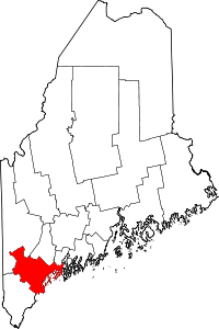 | |
| Towns | ||
| CDPs | ||
| Other villages | ||
This article is issued from Wikipedia - version of the 3/30/2016. The text is available under the Creative Commons Attribution/Share Alike but additional terms may apply for the media files.