Goulmima
| Goulmima ⵉⴳⵯⵍⵎⵉⵎⵏ ݣلميمة | |
|---|---|
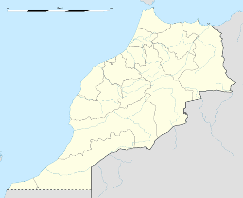 Goulmima location of Goulmima in Morocco | |
| Coordinates: 31°41′40″N 4°57′33″W / 31.69444°N 4.95917°WCoordinates: 31°41′40″N 4°57′33″W / 31.69444°N 4.95917°W | |
| Country |
|
| Region | Drâa-Tafilalet |
| Province | Errachidia |
| Elevation | 1,018 m (3,340 ft) |
| Population (2009)[1] | |
| • Total | 17 952 |
Goulmima (Arabisation of the Amazigh word Igelmimen (the lakes))(Berber: ⵉⴳⵯⵍⵎⵉⵎⵏ;Arabic: ݣلميمة) is a Berber city in Morocco[2] situated in the province of Errachidia, in the region of Drâa-Tafilalet. An agricultural oasis, it is fed by the Wadi Gheris from the central High Atlas mountains. Like other settlements in Tafilalet, it was built as a fortified village or ksar. One of the most important ones, Ighrem n'Igoulmimen (Ksar Goulmima), is in the process of restoration.[3] Not just a historical location, several hundred people still live in the ksar.
Udayn n Acur
Also known as Udayen n Σacur, Udayn n Âachour [4] meaning (the Jews of Ashoura), it is a festival taking place in Tizi-n-Imnayen in Goulmima. The carnival is rooted in old judeo-berber traditions, and is now celebrated by the Muslims of the area, since the Jews had left long ago. The youths dress up in masks and parade around, often shouting slogans against the government and calling for Berber rights.
References
- ↑ "gazetteer.de". gazetteer.de. Retrieved 2014-11-16.
- ↑ Clammer, P. (2010). Morocco. Lonely Planet. p. 363. ISBN 9781742203607. Retrieved 2014-11-16.
- ↑ "Le portail Internet de la ville de Goulmima et ses regions | Phototèque". goulmima.net. Retrieved 2014-11-16.
- ↑ "Udayn n Âachour ou Amghar Qecbu - TAMAZGHA le site berbériste". tamazgha.fr. Retrieved 2014-11-16.
External links
- (French) Ksour du Gheris
- (French) goulmima.com
- (French) Arraw n'Ghriss
- (French) goulmima.skyrock.com
Capital: Errachidia | ||
| Provinces | 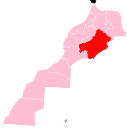 | |
| Cities | ||