Gotska Sandön
| Gotska Sandön National Park | |
|---|---|
| Gotska sandöns nationalpark | |
|
IUCN category II (national park) | |
|
The eastern coast, as seen from the lighthouse. | |
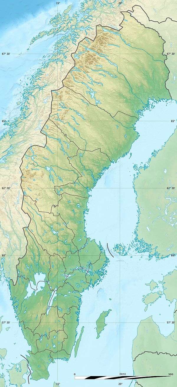
| Location | Gotland County, Sweden |
| Nearest city | Fårösund, Gotland Municipality |
| Coordinates | 58°22′N 19°15′E / 58.367°N 19.250°ECoordinates: 58°22′N 19°15′E / 58.367°N 19.250°E |
| Area | 44.9 km2 (17.3 sq mi), of which 8.42 km2 (3.25 sq mi) are water.[1] |
| Established | 1909, extended in 1963 and 1988[1] |
| Governing body | Naturvårdsverket |
Gotska Sandön (literally translated as Gotlandic Sand Island) is an uninhabited Swedish island, since 1909 also a national park, situated 38 km (24 mi) north of Fårö in the Baltic Sea. Legally a part of Gotland province, it is approximately 9 km (5.6 mi) long and 6 km (3.7 mi) wide, with a total area of approximately 36 km2 (14 sq mi). The island consists mostly of sand and is dominated by beaches, dunes and especially pine forests. Aside from a colony of grey seals, the higher fauna is not very rich. However, the island is home to many rare insects and plants, including the Kashubian vetch and several species of orchid. During the summer, there are regular boat tours from Fårö Island and Nynäshamn on the mainland.
Climate
Despite its isolation from sizeable landmasses, Gotska Sandön's oceanic climate is warm for its latitude. The Scandinavian Peninsula to the west contributes to warmer summers and frequent winter frost, giving the island a far broader temperature range than, for example, the similarly isolated Fair Isle, which lies one degree further north some distance off the coast of Scotland. In spite of this range, summer highs are cool by the standards of southern Sweden, and winter nights are among the mildest in the country.
Gotska Sandön has significant seasonal lag: despite dwindling daylight hours, August is much warmer than June, while March days are both longer and colder than those in December.
| Climate data for Gotska Sandön (2002-2015; precipitation 1961-1990; extremes since 1901) | |||||||||||||
|---|---|---|---|---|---|---|---|---|---|---|---|---|---|
| Month | Jan | Feb | Mar | Apr | May | Jun | Jul | Aug | Sep | Oct | Nov | Dec | Year |
| Record high °C (°F) | 8.6 (47.5) |
9.6 (49.3) |
13.8 (56.8) |
21.8 (71.2) |
27.0 (80.6) |
29.0 (84.2) |
31.6 (88.9) |
30.0 (86) |
27.0 (80.6) |
18.6 (65.5) |
11.9 (53.4) |
9.8 (49.6) |
31.6 (88.9) |
| Average high °C (°F) | 1.7 (35.1) |
1.2 (34.2) |
3.5 (38.3) |
7.9 (46.2) |
13.2 (55.8) |
17.8 (64) |
21.6 (70.9) |
21.4 (70.5) |
16.7 (62.1) |
10.7 (51.3) |
6.7 (44.1) |
3.7 (38.7) |
10.5 (50.9) |
| Daily mean °C (°F) | 0.2 (32.4) |
−0.3 (31.5) |
1.2 (34.2) |
4.8 (40.6) |
9.6 (49.3) |
14.1 (57.4) |
18.2 (64.8) |
18.0 (64.4) |
14.0 (57.2) |
8.7 (47.7) |
5.1 (41.2) |
2.2 (36) |
7.9 (46.2) |
| Average low °C (°F) | −1.2 (29.8) |
−1.8 (28.8) |
−1.1 (30) |
1.6 (34.9) |
6.1 (43) |
10.5 (50.9) |
14.8 (58.6) |
14.7 (58.5) |
11.3 (52.3) |
6.7 (44.1) |
3.5 (38.3) |
0.7 (33.3) |
5.4 (41.7) |
| Record low °C (°F) | −22.0 (−7.6) |
−25.0 (−13) |
−23.2 (−9.8) |
−16.0 (3.2) |
−6.0 (21.2) |
−2.0 (28.4) |
3.1 (37.6) |
3.1 (37.6) |
−1.5 (29.3) |
−5.2 (22.6) |
−9.2 (15.4) |
−13.8 (7.2) |
−25.0 (−13) |
| Average precipitation mm (inches) | 46.8 (1.843) |
31.2 (1.228) |
29.3 (1.154) |
32.4 (1.276) |
26.5 (1.043) |
29.3 (1.154) |
55.5 (2.185) |
55.0 (2.165) |
56.3 (2.217) |
51.8 (2.039) |
66.9 (2.634) |
54.7 (2.154) |
535.7 (21.091) |
| Source #1: SMHI[2] | |||||||||||||
| Source #2: SMHI Monthly Data 2002–2015[3] | |||||||||||||
Gallery
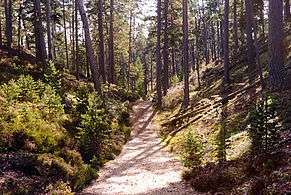 Schipka Pass, a popular track through the sand dunes.
 The eastern coast as seen from the lighthouse.
 The north-eastern coast.
References
- 1 2 "Gotska Sandön National Park". Naturvårdsverket. Retrieved 26 February 2009.
- ↑ "Precipitation Normals 1961–1990 (Swedish)". Swedish Metereological and Hydrological Institute (Gotska Sandön code 8924).
- ↑ "Monthly and Yearly Statistics (Swedish)". SMHI. April 17, 2016.
External links
![]() Media related to Gotska Sandön at Wikimedia Commons
Media related to Gotska Sandön at Wikimedia Commons
| Wikivoyage has a travel guide for Gotska Sandön. |
- Sweden's National Parks: Gotska Sandön National Park from the Swedish Environmental Protection Agency
- Gotska Sandön (in Swedish)
- Gotska Sandön National Park (in Swedish)
- Gotska Sandön National Park (English)
- Birds on Gotska Sandön
