Goshute Valley
| Goshute Valley | |
| Valley | |
| Country | United States |
|---|---|
| State | Nevada |
| Region | Spring-Steptoe Watershed |
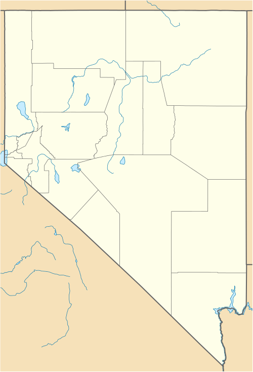
| District | southeast Elko County |
| Borders on | N: TBD E: Toano Range SW: Cherry Creek Range SE: Antelope Valley SE: Dolly Varden Mountains SE: Currie Hills S: Steptoe Valley SW & W: Pequop Mountains |
| Coordinates | 40°46′13″N 114°24′48″W / 40.7702°N 114.4134°WCoordinates: 40°46′13″N 114°24′48″W / 40.7702°N 114.4134°W |
| Highest point | Shafter Knoll [1] |
| - location | just north of valley center, ~5 mi W of Toano Range |
| - elevation | 5,864 ft (1,787 m) [2] |
| - coordinates | 40°46′13″N 114°24′48″W / 40.7702°N 114.4134°W |
| Length | 60 mi (97 km), north-south trending |
| Width | 12 mi (19 km) |
| Geology | Alluvium |
The Goshute Valley is an endorheic landform of the Great Basin. The towns of Oasis and Cobre are in the valley's north, and the central and north of the valley contains broken flatlands, with short washes draining from the surrounding mountain ranges.

Interstate 80 crosses the valley and has a junction with State Route 233 at Oasis. The Nevada Northern Railroad traverses the valley north from Ely and intersects the Western Pacific Railroad at Shafter and continues on north to a connection with the Southern Pacific Railroad at Cobre.
The southern 25 mi (40 km) of the valley turns southwest and includes the northeast-flowing Nelson Creek which drains into a flatland sink. Currie is in the Steptoe Valley to the southwest end of the Goshute Valley adjacent a drainage divide between the north flowing Nelson Creek and the south flowing drainage into the intermittent Goshute Lake near the ghost town of Goshute.[3] The Goshute Canyon Wilderness lies to the southwest in White Pine County.
Salt desert
The Goshute Valley includes the largest of the Nevada salt desert ecoregions.[4]
References
- ↑ Shafter Knoll, trails.com
- ↑ Nevada Atlas & Gazetteer, DeLorme, 2010, p. 32-33.
- ↑ USGS 7.5 minute topographic quadrangles: Currie, NV and Goshute Lake North, NV
- ↑ Bryce, S.A; et. al, Ecoregions of Nevada (PDF), Reston, Virginia: USGS Note: Goshute Valley not labeled on map.
 |
Crowler Valley | | ||
| |
Nevada/Utah state line Great Salt Lake Desert Watershed | |||
| ||||
| | ||||
| West Wendover, NV Goshute Indian Reservation |