Gornja Tuzla
| Gornja Tuzla | |
|---|---|
 Gornja Tuzla | |
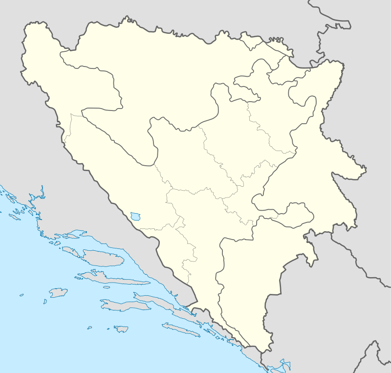
| Coordinates: BA 44°33′26.8″N 18°45′44.6″E / 44.557444°N 18.762389°ECoordinates: BA 44°33′26.8″N 18°45′44.6″E / 44.557444°N 18.762389°E | |
| Country |
|
| Entity | Federation of Bosnia and Herzegovina |
| Canton | Tuzla Canton |
| Time zone | CET (UTC+1) |
| • Summer (DST) | CEST (UTC+2) |
| Area code(s) | +387 (35) |
Gornja Tuzla (English: Upper Tuzla) is a town west of Tuzla, Bosnia and Herzegovina. It's neighboring town is Simin Han.
History
There is evidence of the prehistoric Vinča culture being present in Gornja Tuzla as early as 5200 BC.[1] The present-day city of Tuzla was first granted status as a town by the reigning Ottoman Empire in 1477. The kadžiluk of Tuzla was established in 1573, with headquarters in Gornja Tuzla. In the mid-seventeenth century, the seat of the kadžiluk was transferred to Donja Tuzla.[2] Gornja Tuzla was part of the Empire's Sanjak of Zvornik in the Bosnia Vilayet. The Hadži Iskenderova mosque in the center of town, built in the 1500s, still stands today.
In about 1884 Austria-Hungary began boring salt in Gornja Tuzla, Simin Han and Donja Tuzla.[3] On 3 October 1943, a day after the city of Tuzla was liberated, Gornja Tuzla was liberated by the 16th Vojvodina Division of the Yugoslav Partisans.[4]
References
- ↑ "Traces of the Past: Unraveling the Secrets of Archaeology Through Chemistry; page 175". Google Books. 6 August 2008. Retrieved 8 April 2015.
- ↑ "Bosnia and Herzegovina; page 281". Google Books. 2013. Retrieved 8 April 2015.
- ↑ "Reports from Her Majesty's Consuls on the Manufactures, Commerce, &c. of Their Consular Districts; page 428". Google Books. 1886. Retrieved 8 April 2015.
- ↑ "Bosnian Muslims in the Second World War; page 135". Google Books. 2014. Retrieved 8 April 2015.