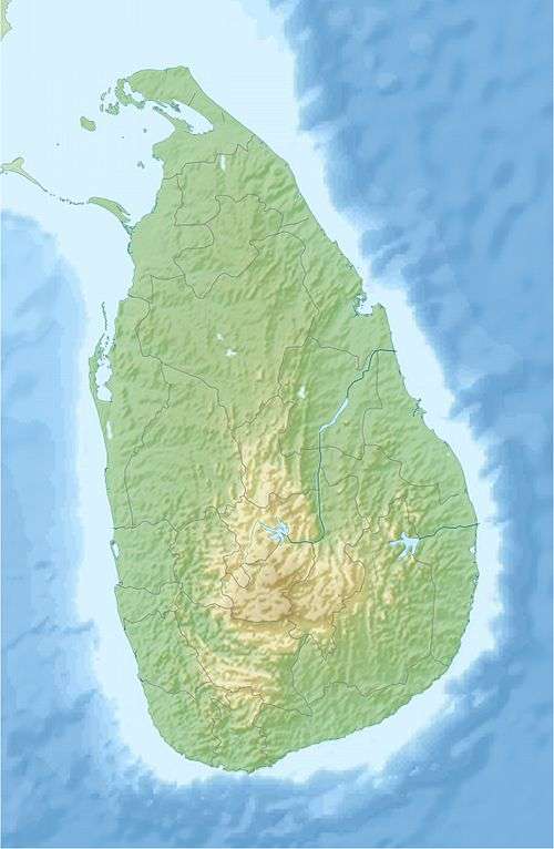
Gommolli Kanda
| Gommolli Kanda | |
|---|---|
|
Gommolli Kanda and Balathoduwa as seen from Lower Ohiya. | |
| Highest point | |
| Elevation | 2,034 m (6,673 ft) |
| Coordinates | 06°46′00″N 80°48′33″E / 6.76667°N 80.80917°ECoordinates: 06°46′00″N 80°48′33″E / 6.76667°N 80.80917°E |
| Geography | |
 Gommolli Kanda | |
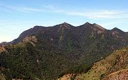
Gommolli Kanda is regarded as the 13th highest mountain in Sri Lanka situated at 2,034 m (6,673 ft) above mean sea level.The mountain got its name from the native language of Sri Lanka, Sinhala as the peak of the mountain has a shape of hump of a bull. In Sinhala ‘Gommolliya’ has the meaning of ‘Hump of the bull’. Another popular mountain peak named Balathoduwa is also situated close to Gommolli Kanda. These two mountain peaks are visible from World's End of Horton Plains National Park on a clear day without heavy mist.Sri Lanka’s highest waterfall - Bambarakanda Falls also situated close to Gommolli Kanda.[1][2]
See also
References
| Wikimedia Commons has media related to Kirigalpoththa. |
This article is issued from Wikipedia - version of the 3/6/2016. The text is available under the Creative Commons Attribution/Share Alike but additional terms may apply for the media files.