Godovič Pass
| Godovič Pass | |
|---|---|
 Godovič Pass Location of Godovič Pass | |
| Elevation | 850 m (2,789 ft)[1] |
| Traversed by | road n° 207 [1] |
| Location | Goriška, Slovenia |
| Range |
Alps Dinaric Alps |
| Coordinates | 45°54′50″N 14°01′48″E / 45.914°N 14.030°ECoordinates: 45°54′50″N 14°01′48″E / 45.914°N 14.030°E |
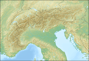
The Godovič Pass is a mountain pass between Ajdovščina and Črni Vrh, both in the Goriška region of Slovenia. It connects the Slovenian Prealps with Dinaric Alps and conventionally represents the South-eastern end of the Alps, as the Bocchetta di Altare represents the opposite end of the range.[2]
References
See also
This article is issued from Wikipedia - version of the 11/8/2016. The text is available under the Creative Commons Attribution/Share Alike but additional terms may apply for the media files.