Gioura
| Native name: Γιούρα | |
|---|---|
 Gioura | |
| Geography | |
| Coordinates | 39°23′N 24°10′E / 39.39°N 24.17°ECoordinates: 39°23′N 24°10′E / 39.39°N 24.17°E |
| Archipelago | Sporades |
| Total islands | 3 |
| Highest elevation | 177 m (581 ft) |
| Highest point | Mt. Vouni |
| Administration | |
|
Greece | |
| Region | Thessaly |
| Regional unit | Sporades |
| Municipality | Alonnisos |
| Demographics | |
| Population | 0 (2011) |
| Postal code | 370 05 |
| Area code(s) | 24240 |
| Vehicle registration | BO |
Gioura (Greek: Γιούρα) is a Greek island and an abandoned settlement in the eastern part of the Sporades. It is administratively part of the municipality of Alonnisos. The island name dates back to the ancient times as Gerontia. The name was later altered to Gioura. The island also features a Neolithic settlement. The 1991 census read one inhabitant making it the smallest municipal district in Greece in population. As of 2011, it had no resident population.[1] Gioura is in Zone B of the Alonnisos Marine Park.
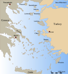
Nearest islands and islets
Its nearest islands and islets are Pelagos to the west, Psathoura to the north and Piperi to the east.
References
- ↑ "Detailed census results 2011" (xls 2,7 MB) (in Greek). National Statistical Service of Greece.
External links
- Gioura on GTP Travel Pages (English) (Greek)
This article is issued from Wikipedia - version of the 11/17/2016. The text is available under the Creative Commons Attribution/Share Alike but additional terms may apply for the media files.