Ghobeiry
| Ghobeiry غبيري Ghbayreh | |
|---|---|
 Ghobeiry Location in Lebanon | |
| Coordinates: 33°51′32″N 35°30′15″E / 33.85889°N 35.50417°ECoordinates: 33°51′32″N 35°30′15″E / 33.85889°N 35.50417°E | |
| Country | Lebanon |
| Governorate | Mount Lebanon |
| District | Baabda |
| Area | |
| • Total | 120 ha (300 acres) |
| Elevation | 50 m (160 ft) |
Ghobeiry (Arabic: غبيري; also spelled Ghbayreh or Ghabariyeh) is a municipality in the Baabda District of Mount Lebanon Governorate, Lebanon.[1]
The inhabitants of Ghobeiry are predominantly Shia Muslims.[2] As of 2013, the municipal council was led by Hezbollah's political party. Ghobeiry is in the same area as Shatila, the Palestinian refugee camp. The Ghobeiry Municipality and European governments have turned the site of the Sabra and Shatila massacre against the refugees in 1982 into a memorial of sorts.[3]
References
- ↑ "Ghbayreh". Localliban. Localliban. 2007-12-17. Retrieved 2016-10-04.
- ↑ Khuri, Fuad I. (2008). An Invitation to Laughter: A Lebanese Anthropologist in the Arab World. University of Chicago Press. p. 80.
- ↑ Lamb, Franklin (2013-09-20). "31 Years After the Massacre at Sabra-Shatila". CounterPunch. CounterPunch. Retrieved 2016-02-09.
Capital: Baabda | ||
| Towns and villages | 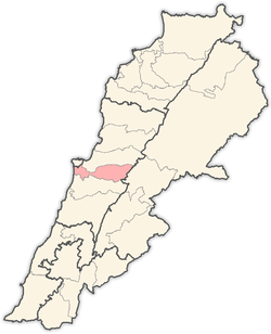 | |
This article is issued from Wikipedia - version of the 10/3/2016. The text is available under the Creative Commons Attribution/Share Alike but additional terms may apply for the media files.