Ghardabiya Air Base
| Ghardabiya Air Base Gardabya Airport | |||||||||||||||
|---|---|---|---|---|---|---|---|---|---|---|---|---|---|---|---|
|
United States Department of Defense reconnaissance photo of hangars at Ghardabiya | |||||||||||||||
| IATA: SRX [1] – ICAO: HLGD | |||||||||||||||
| Summary | |||||||||||||||
| Airport type | Military/Public | ||||||||||||||
| Owner | Libya | ||||||||||||||
| Location | Sirte | ||||||||||||||
| Elevation AMSL | 266 ft / 81 m | ||||||||||||||
| Coordinates | 31°03′38″N 16°36′42″E / 31.06056°N 16.61167°ECoordinates: 31°03′38″N 16°36′42″E / 31.06056°N 16.61167°E | ||||||||||||||
| Map | |||||||||||||||
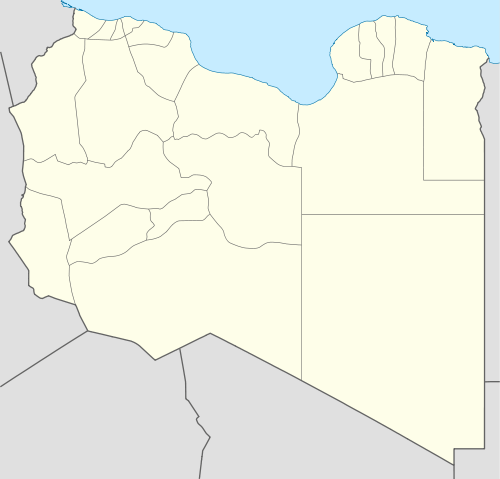 Ghardabiya Air Base Location in Libya | |||||||||||||||
| Runways | |||||||||||||||
| |||||||||||||||

Ghardabiya Air Base is a dual-function airbase for the Libyan Air Force south of the city of Sirte.[2] It also incorporates an airport for civilian use.[3] It was captured by the Islamic State of Iraq and the Levant in May 2015 and was reportedly captured by pro-government forces in June 2016.
Military use
It is the home base of 1124 Bomber Squadron and 1st Fighter-Bomber Squadron which operate the Su-22 aircraft.[4] The base also operates the Aero L-39 Albatross for counterinsurgency missions.
Civilian use
Due to the 2011 Libyan civil war all flights were suspended however since the end of the conflict Libyan Airlines have resumed service, it is currently unknown if Air Libya Tibesti is using the airport.
| Airlines | Destinations |
|---|---|
| Air Libya Tibesti | Tripoli |
| Libyan Airlines | Tripoli |
| Tunisair | Tunis[5] |
Libyan civil war
It was targeted by United States Air Force B-2 Spirit stealth bombers equipped with precision-guided munitions (PGMs) during the 2011 Libyan civil war on 20 and 21 March 2011.[6] The United States Navy also participated in the attack to deny the Libyan Air Force operational capability with the use of Tomahawk cruise missiles.[7][8]
In May 2015, Islamic State militants reportedly took control of the airport, after seizing control of nearby Sirte only weeks before.[9] Pro-Libyan government fighters said on 4 June 2016 that they had captured the air base from ISIL.[10]
References
- ↑ http://www.gcmap.com/airport/SRX
- ↑ http://www.defense.gov/news/DJS_Presser.pdf
- ↑ Allies Press Libya Attacks - WSJ.com
- ↑ Air Order of Battle
- ↑ International flights to operate out of Sirte airport
- ↑ BBC News - Libya military operation: Who should command?
- ↑ With Libyan Air Defense Neutralized, Coalition Air Forces Target Libyan Ground Forces | Defense Update - Military Technology & Defense News
- ↑ Information Dissemination: Libyan Navy Attacked by Fighter Jets - Updated
- ↑ "Islamic State militants in Libya 'seize Sirte airport'". bbc.com. BBC News. Retrieved 2015-05-29.
- ↑ http://www.reuters.com/article/idUSKCN0YQ0TA
External links
- Accident history for SRX at Aviation Safety Network
- Airport information for HLGD at World Aero Data. Data current as of October 2006.