Gauripur, India
| Gauripur গৌৰীপুৰ | |
|---|---|
| city | |
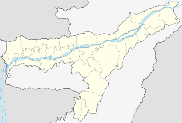 Gauripur  Gauripur Location in Assam, India | |
| Coordinates: 26°05′N 89°58′E / 26.08°N 89.97°ECoordinates: 26°05′N 89°58′E / 26.08°N 89.97°E | |
| Country |
|
| State | Assam |
| District | Dhubri |
| Government | |
| • Body | Gauripur Town Committee |
| Elevation | 26 m (85 ft) |
| Population (2001) | |
| • Total | 23,477 |
| Languages | |
| • Official | Assamese |
| Time zone | IST (UTC+5:30) |
| ISO 3166 code | IN-AS |
| Vehicle registration | AS |
| Website | http://gauripurtc.org |
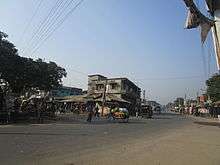
Gauripur (IPA: ˈgɑʊrɪˌpʊə or ˈgɔːrɪˌpʊə) (Assamese: গৌৰীপুৰ) is a semi urban town under Gauripur Town Committee in Dhubri district in the state of Assam, India.
Geography
Gauripur is located at 26°05′N 89°58′E / 26.08°N 89.97°E in the state of Assam.[1] It has an average elevation of 26 metres (85 feet). The nearest airport is situated at Rupsi adjacent to the village Khudimari. Gauripur is a small beautiful town in the western side of district headquarters Dhubri. The main town is situated by the river Gadadhar on its eastern side. There is a lake on its north-western side named Laokhowa beel and in the north-eastern side on the bank of Gadadhar is a small hill top called Matiabagh on which the palace named "Hawakhana" made by the Zamindar of Gauripur is situated. On the other side of the Gadadhar river is the famous village Asharikandi, of international fame for its terrakota industry. The Gauripur town is served by the Northeast Frontier Railway of the Indian Railway network. The national highway 31 runs across the town.
History
The establishment of the town and the name "Gauripur" has an interesting story associated with the main architect of Gauripur, Raza Pratap Chandra Baruah, Zamindar of Rangamati. It is believed that one day Raza Baruah was hunting in the forest and came across a frog which was eating a snake. He was very much astonished to see this unnatural and unheard sight. Being a very strong devotee of Goddess Mahamaya, he was convinced that it was some sort of supernatural message for him. Shortly afterwards, he established a temple for Goddess Mahamaya and named the place as Gauripur after the alias "Gauri" of Mahamaya. He even shifted his capital of his Zamindari from Rangamati to Gauripur.[2]
Demographics
As of 2001 India census,[3] Gauripur had a population of 23,477. Males constitute 52% of the population and females 48%. Gauripur has an average literacy rate of 75%, higher than the national average of 59.5%: male literacy is 81%, and female literacy is 69%. In Gauripur, 11% of the population is under 6 years of age.
Politics
Gauripur is part of Dhubri (Lok Sabha constituency).[4]
Notable people
- Pramathesh Barua, actor
- Pratima Barua Pandey, prominent folk singer
- Rebati Mohan Dutta Choudhury, noted Assamese litterateur
- Mahamahopadhay Adhyanath Nayabhusan, first Mahamahopadhay pandit of Assam , a noted Sanskrit Scholar of Assam .
References
- ↑ Falling Rain Genomics, Inc - Gauripur
- ↑ "Hai Hastir Kanya" written by Dr. Dhiren Das of Gauripur
- ↑ "Census of India 2001: Data from the 2001 Census, including cities, villages and towns (Provisional)". Census Commission of India. Archived from the original on 2004-06-16. Retrieved 2008-11-01.
- ↑ "List of Parliamentary & Assembly Constituencies" (PDF). Assam. Election Commission of India. Retrieved 2009-10-05.