Gatlinburg–Pigeon Forge Airport
| Gatlinburg–Pigeon Forge Airport | |||||||||||
|---|---|---|---|---|---|---|---|---|---|---|---|
| IATA: GKT – ICAO: KGKT – FAA LID: GKT | |||||||||||
| Summary | |||||||||||
| Airport type | Public | ||||||||||
| Owner | Sevier County | ||||||||||
| Serves | Gatlinburg / Pigeon Forge | ||||||||||
| Location | Sevierville, Tennessee | ||||||||||
| Elevation AMSL | 1,014 ft / 309 m | ||||||||||
| Coordinates | 35°51′28″N 083°31′43″W / 35.85778°N 83.52861°W | ||||||||||
| Map | |||||||||||
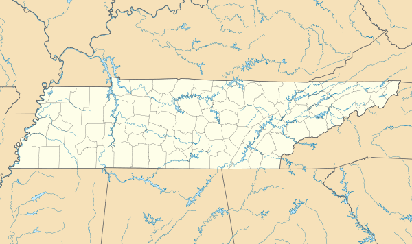 GKT Location of airport in Tennessee | |||||||||||
| Runways | |||||||||||
| |||||||||||
| Statistics (2012) | |||||||||||
| |||||||||||
Gatlinburg–Pigeon Forge Airport (IATA: GKT, ICAO: KGKT, FAA LID: GKT) is a county-owned public-use airport in Sevier County, Tennessee, United States. The airport is north of the cities of Gatlinburg and Pigeon Forge, and two nautical miles (3.7 km) southeast of the central business district of Sevierville, Tennessee.[2]
Facilities and aircraft
Gatlinburg–Pigeon Forge Airport covers an area of 110 acres (45 ha) at an elevation of 1,014 feet (309 m) above mean sea level. It has one runway designated 10/28 with an asphalt surface measuring 5,506 by 75 feet (1,678 x 23 m).[2]
For the 12-month period ending April 30, 2008, the airport had 70,780 aircraft operations, an average of 193 per day: 92% general aviation, 7% air taxi and 1% military. At that time there were 102 aircraft based at this airport: 77% single-engine, 14% multi-engine, 7% jet and 2% helicopter.[2]
References
- ↑ "Gatlinburg–Pigeon Forge Airport". Airport Directory. Tennessee DOT. Retrieved 2008-08-08.
- 1 2 3 4 FAA Airport Master Record for GKT (Form 5010 PDF), effective 2009-07-02.
External links
- Aerial photo as of 16 March 1992 from USGS The National Map
- FAA Terminal Procedures for GKT, effective November 10, 2016
- Resources for this airport:
- FAA airport information for GKT
- AirNav airport information for GKT
- ASN accident history for GKT
- FlightAware airport information and live flight tracker
- SkyVector aeronautical chart for GKT