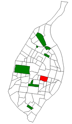
Gate District, St. Louis
| The Gate District | |
|---|---|
| St. Louis neighborhood | |
|
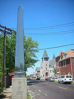
The entrance to the Gate District on Compton Avenue. | |
 Location of The Gate District within St. Louis | |
| Country | United States |
| State | Missouri |
| City | St. Louis |
| Wards | 6, 19 |
| Area | |
| • Total | 0.65 sq mi (1.7 km2) |
| Population (2010)[1] | |
| • Total | 3,456 |
| • Density | 5,300/sq mi (2,100/km2) |
| ZIP code(s) | Part of 63104 |
| Area code(s) | 314 |
| Website | stlouis-mo.gov |
The Gate District is a neighborhood of St. Louis, Missouri. The Gate District is defined as the area between Chouteau Avenue and Interstate 44 on the north and south and between South Jefferson Avenue and South Grand Boulevard on the east and west. This area is just south of the central corridor and west of Lafayette Square.
Demographics
In 2010 The Gate District's racial makeup was 82.0% Black, 14.4% White, 0.2% Native American, 1.3% Asian, 1.4% Two or More Races, and 0.4% Some Other Race. 1.1% of the population was of Hispanic or Latino origin.[2]
| Historical population | ||
|---|---|---|
| Year | Pop. | ±% |
| 2000 | 3,491 | — |
| 2010 | 3,456 | −1.0% |
| [3] | ||
| Racial composition | 2010[4] | 2000[5] |
|---|---|---|
| White | 14.4% | 10.1% |
| Black or African American | 82.0% | 86.7% |
| Hispanic or Latino (of any race) | 1.1% | 1.1% |
| Asian | 1.3% | 0.5% |
Neighborhoods
The Gate District is subdivided into four neighborhoods:[6]
- Buder Park
- Eads Park
- Lafayette Terrace
- St. Vincent
References
Coordinates: 38°37′11″N 90°13′46″W / 38.6196°N 90.2294°W
This article is issued from Wikipedia - version of the 10/10/2016. The text is available under the Creative Commons Attribution/Share Alike but additional terms may apply for the media files.