Gaskiers-Point La Haye
"Gaskiers" redirects here. For the glaciation period, see Gaskiers glaciation (geology).
| Gaskiers-Point La Haye | |
|---|---|
| Town | |
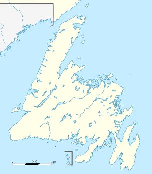 Location of Gaskiers-Point la Haye in Newfoundland | |
| Coordinates: 46°52′N 53°37′W / 46.867°N 53.617°WCoordinates: 46°52′N 53°37′W / 46.867°N 53.617°W | |
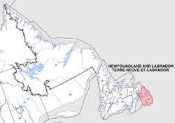
| Country |
|
| Province |
|
| Incorporated | 1970 |
| Government | |
| • Mayor | Pearl Kielly |
| • MHA | Felix Collins (PC) |
| • MP | Scott Andrews (L) |
| Area | |
| • Land | 23.81 km2 (9.19 sq mi) |
| Population (2011) | |
| • Total | 233 |
| • Density | 9.8/km2 (25/sq mi) |
| Time zone | Newfoundland Time (UTC-3:30) |
| • Summer (DST) | Newfoundland Daylight (UTC-2:30) |
| Area code(s) | 709 |
Gaskiers-Point La Haye is a town in Newfoundland and Labrador, Canada, located in St. Mary's Bay. It is located southwest of St. Mary's. It became a local government community in 1970. In 2011, the town had a population of 233.
Local attractions
Hare Hill Trail (Point La Haye) is a well-developed trail that was originally used by wood cutters, hunters and berry pickers for centuries. The trail is a total of three kilometres long and reaches an elevation of 135 m at its highest point. Upon reaching the top, there is a view of many communities in St. Mary's Bay.
Towns and communities nearby
See also
- St. Mary's Bay
- Newfoundland outport
- Avalon Peninsula
- List of cities and towns in Newfoundland and Labrador
References
This article is issued from Wikipedia - version of the 11/7/2016. The text is available under the Creative Commons Attribution/Share Alike but additional terms may apply for the media files.