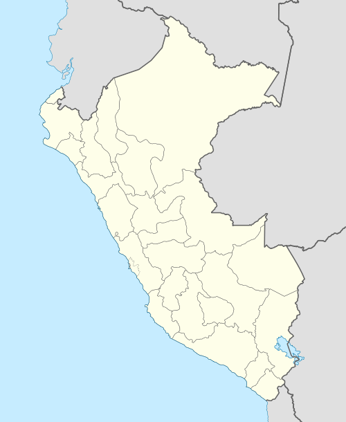
Gasha (Peru)
For the mountain in the Ancash Region, Peru, see Kashan (Peru). For the city in Iran, see Kashan. For the Cashan Mountains in South Africa, see Magaliesberg.
| Gasha | |
|---|---|
 Gasha Peru | |
| Highest point | |
| Elevation | 4,880 m (16,010 ft) |
| Coordinates | 10°09′50″S 76°54′45″W / 10.16389°S 76.91250°WCoordinates: 10°09′50″S 76°54′45″W / 10.16389°S 76.91250°W |
| Geography | |
| Location | Peru, Ancash Region, Huánuco Region |
| Parent range | Andes, Huayhuash |
Gasha[1][2] (possibly from Quechua kasha thorn or spine)[3] is a 4,880 metres (16,010 ft) high[2] mountain in the northern part of the Huayhuash mountain range in the Andes of Peru.[1][2] It is located in the Ancash Region, Bolognesi Province, Pacllón District, and in the Huánuco Region, Lauricocha Province, Queropalca District.[4] Gasha lies northwest of Mitococha and north of Paria.[2]
References
- 1 2 Alpenvereinskarte 0/3c. Cordillera Huayhuash (Peru). 1:50 000. Oesterreichischer Alpenverein. 2008. ISBN 9783937530079.
- 1 2 3 4 Peru 1:100 000, Yanahuanca (21-j). IGN (Instituto Geográfico Nacional - Perú).
- ↑ Toponimos de Yunkay
- ↑ escale.minedu.gob.pe - UGEL map of the Cajatambo Province (Lima Region)
This article is issued from Wikipedia - version of the 11/22/2016. The text is available under the Creative Commons Attribution/Share Alike but additional terms may apply for the media files.