Ganxian District
| Ganxian 赣县区 | |
|---|---|
| District | |
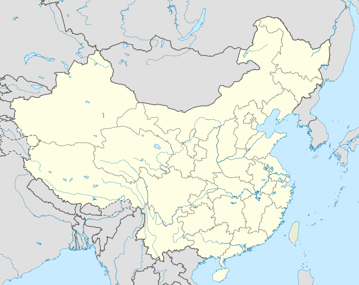 Ganxian Location within China | |
| Coordinates: 25°50′27″N 115°05′24″E / 25.84083°N 115.09000°ECoordinates: 25°50′27″N 115°05′24″E / 25.84083°N 115.09000°E | |
| Country | China |
| Province | Jiangxi |
| Prefecture-level city | Ganzhou |
| Seat | Meilin Town |
| Area[1][2] | |
| • Total | 2,993.09 km2 (1,155.64 sq mi) |
| Dimensions | |
| • Length | 91 km (57 mi) |
| • Width | 34 km (21 mi) |
| Population (2014)[1] | |
| • Total | 641,677 |
| • Density | 210/km2 (560/sq mi) |
| Time zone | China Standard (UTC+8) |
| Postal Code | 341100 |
| Area code(s) | 0797 |
| Vehicle registration | 赣B |
| Website |
www |
Ganxian (Chinese: 赣县) is a district in the municipal region of Ganzhou, Jiangxi Province.
Administration

The location of Ganxian (in red) within Jiangxi Province.
Ganxian has an area of 2993.09 km2.[1][2] The district executive, legislature and judiciary are at Meilin Town (梅林镇), just upriver from the prefectural seat, together with the CPC and PSB branches. These organs oversee 19 towns & townships.
People
The population was 546,964 at the 2010 census.[2] At the end of 2014 there were 641,677 inhabitants in Ganxian, among them there were 336,054 male inhabitants and 305,623 female inhabitants. The farming population was 540,131. There were 170,729 households. 99.5% of the inhabitants of Ganxian are Hakka.[1]
Transport
References
This article is issued from Wikipedia - version of the 10/15/2016. The text is available under the Creative Commons Attribution/Share Alike but additional terms may apply for the media files.