Galdames
| Galdames | ||
|---|---|---|
| Municipality | ||
| ||
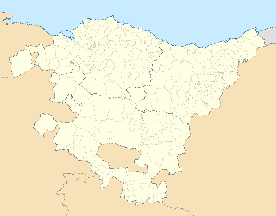 Galdames Location of Galdames within the Basque Country | ||
| Coordinates: 43°15′18″N 3°5′47″W / 43.25500°N 3.09639°WCoordinates: 43°15′18″N 3°5′47″W / 43.25500°N 3.09639°W | ||
| Country | Spain | |
| Autonomous community | Basque Country | |
| Province | Biscay | |
| Comarca | Enkarterri | |
| Government | ||
| • Alcalde | Carlos Avellanal Villanueva (EAJ-PNV) | |
| Area | ||
| • Total | 44.36 km2 (17.13 sq mi) | |
| Elevation | 166 m (545 ft) | |
| Population (2009) | ||
| • Total | 837 | |
| • Density | 19/km2 (49/sq mi) | |
| Demonym(s) | galdamestarra | |
| Time zone | CET (UTC+1) | |
| • Summer (DST) | CEST (UTC+2) | |
| Postal code | 48191 | |
| Official language(s) | Basque, Spanish | |
| Website | Official website | |

Galdames is a valley, town and municipality located in the province of Biscay, in the autonomous community of Basque Country, northern Spain.
Main sights are Santa Maria Magdalena and Arenaza caves, both situated in Triano mountain range and the latter containing stalactites and rest of mining operations. Medieval Tower of Loizaga is located in Concejuelo ward, nowadays site of a museum of classic automobiles.[1]
Neighborhoods
Galdames is administratively divided into 8 neighborhoods or wards:[2]
- Atxuriaga (La Aceña).
- Concejuelo.
- Humaran.
- Larrea.
- Montellano.
- San Esteban Galdames.
- San Pedro Galdames.
- Txabarri.
Demography
| 1897 | 1900 | 1910 | 1920 | 1930 | 1940 | 1950 | 1960 | 1970 | 1981 | 1991 | 2001 | 2006 |
|---|---|---|---|---|---|---|---|---|---|---|---|---|
| 2,310 | 2,886 | 3,856 | 3,854 | 3,335 | 3,022 | 2,312 | 1,892 | 1,249 | 812 | 799 | 799 | 813 |
References
- ↑ Ainhoa Arozamena & Manu Castaño. "Auñamendi Encyclopedia: Galdames" (in Spanish). Eusko Ikaskuntza. Retrieved 27 June 2010.
- ↑ Euskaltzaindia. "Euskal Onomastikaren Datutegia (EODA): Galdames" (in Basque). Euskaltzaindia. Retrieved 27 June 2010.

This article is issued from Wikipedia - version of the 9/9/2015. The text is available under the Creative Commons Attribution/Share Alike but additional terms may apply for the media files.