Gajisan (Ulsan/Gyeongsang)
This article is about a mountain in Ulsan. For the mountain in South Jeolla Province, see Gajisan (South Jeolla).
| Gajisan | |
|---|---|
 Gajisan | |
| Highest point | |
| Elevation | 1,240 m (4,070 ft) |
| Coordinates | 35°37′16″N 129°00′11″E / 35.62111°N 129.00306°ECoordinates: 35°37′16″N 129°00′11″E / 35.62111°N 129.00306°E |
| Geography | |
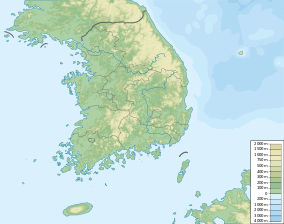
| Location | South Korea |
| Korean name | |
| Hangul | 가지산 |
|---|---|
| Hanja | 加智山 |
| Revised Romanization | Gajisan |
| McCune–Reischauer | Kajisan |
Gajisan is a mountain in South Korea. It sits on the boundary between the city of Ulsan, the city of Miryang in the province of Gyeongsangnam-do, and Cheongdo County in Gyeongsangbuk-do. Gajisan has an elevation of 1,240 m (4,068 ft).[1] It is part of the Yeongnam Alps mountain range.
See also
Notes
- ↑ Yu 2007, p.503.
References
- Yu Jeong-yeol (2007). 한국의 산 여행 (Travel Guide to Korean Mountains). Seoul: 관동 상억연구회 (Kwandong). ISBN 978-89-958055-1-0.
- Photos and Map of hiking up Mt. Gaji: http://www.everytrail.com/view_trip.php?trip_id=2026190
External links
This article is issued from Wikipedia - version of the 10/24/2015. The text is available under the Creative Commons Attribution/Share Alike but additional terms may apply for the media files.