Fuerte Olimpo Airport
| Fuerte Olimpo Airport Inocencio Herebia Airport | |||||||||||
|---|---|---|---|---|---|---|---|---|---|---|---|
| IATA: none – ICAO: SGOL | |||||||||||
| Summary | |||||||||||
| Airport type | Public | ||||||||||
| Serves | Fuerte Olimpo | ||||||||||
| Elevation AMSL | 280 ft / 85 m | ||||||||||
| Coordinates | 21°02′45″S 57°53′00″W / 21.04583°S 57.88333°WCoordinates: 21°02′45″S 57°53′00″W / 21.04583°S 57.88333°W | ||||||||||
| Map | |||||||||||
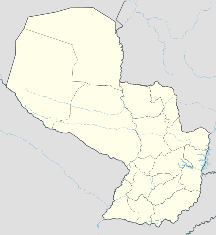 SGOL Location of the airport in Paraguay | |||||||||||
| Runways | |||||||||||
| |||||||||||
Fuerte Olimpo Airport (ICAO: SGOL) is an airport serving the city of Fuerte Olimpo in Alto Paraguay Department, Paraguay.
See also
 Paraguay portal
 Aviation portal
- List of airports in Paraguay
- Transport in Paraguay
References
- ↑ Airport information for SGOL at Great Circle Mapper.
- ↑ Google Maps - Fuerte Olimpo
External links
- HERE Maps - Fuerte Olimpo
- OpenStreetMaps - Fuerte Olimpo
- Skyvector Aeronautical Charts - Fuerte Olimpo
This article is issued from Wikipedia - version of the 10/19/2016. The text is available under the Creative Commons Attribution/Share Alike but additional terms may apply for the media files.