Four shire stone

The Four shire stone is a boundary marker that marks the place where the four historic English counties of Worcestershire, Warwickshire, Oxfordshire and Gloucestershire once met. Since 1931, with a change to the boundaries of Worcestershire, only three counties have met at the stone.
Boundary marker
It is not a stone, but a nine-foot high monument, built from the local Cotswold stone. It is in the English midlands, a mile and a half east of the small town of Moreton-in-Marsh, at 51°59′15″N 1°39′57″W / 51.98750°N 1.66583°WCoordinates: 51°59′15″N 1°39′57″W / 51.98750°N 1.66583°W, grid reference SP231301. The existing structure was probably built in the 18th century, and is a grade II listed building.[1] There was an earlier "4 Shire Stone" on or near the site in 1675.[2]

From the stone, you could go west into Gloucestershire, east into Warwickshire, south-east into Oxfordshire, or south into a small exclave of Worcestershire. Most of Worcestershire is to the north-west of the stone. Thus the order of the four counties around the stone was different from what one might expect from a map of England.
The stone ceased to be the meeting-point of four shires in 1931, when the exclave of Worcestershire to its south was transferred to Gloucestershire, so since that date only three counties meet at the stone.[4]
It is claimed that the Four shire stone inspired the "Three-Farthing Stone" in J. R. R. Tolkien's books The Hobbit and The Lord of the Rings. In those books, The Shire is divided into four farthings, three of which meet at the "Three-Farthing Stone".[5][6]
References
- ↑ "British Listed Buildings". Retrieved 12 August 2013.
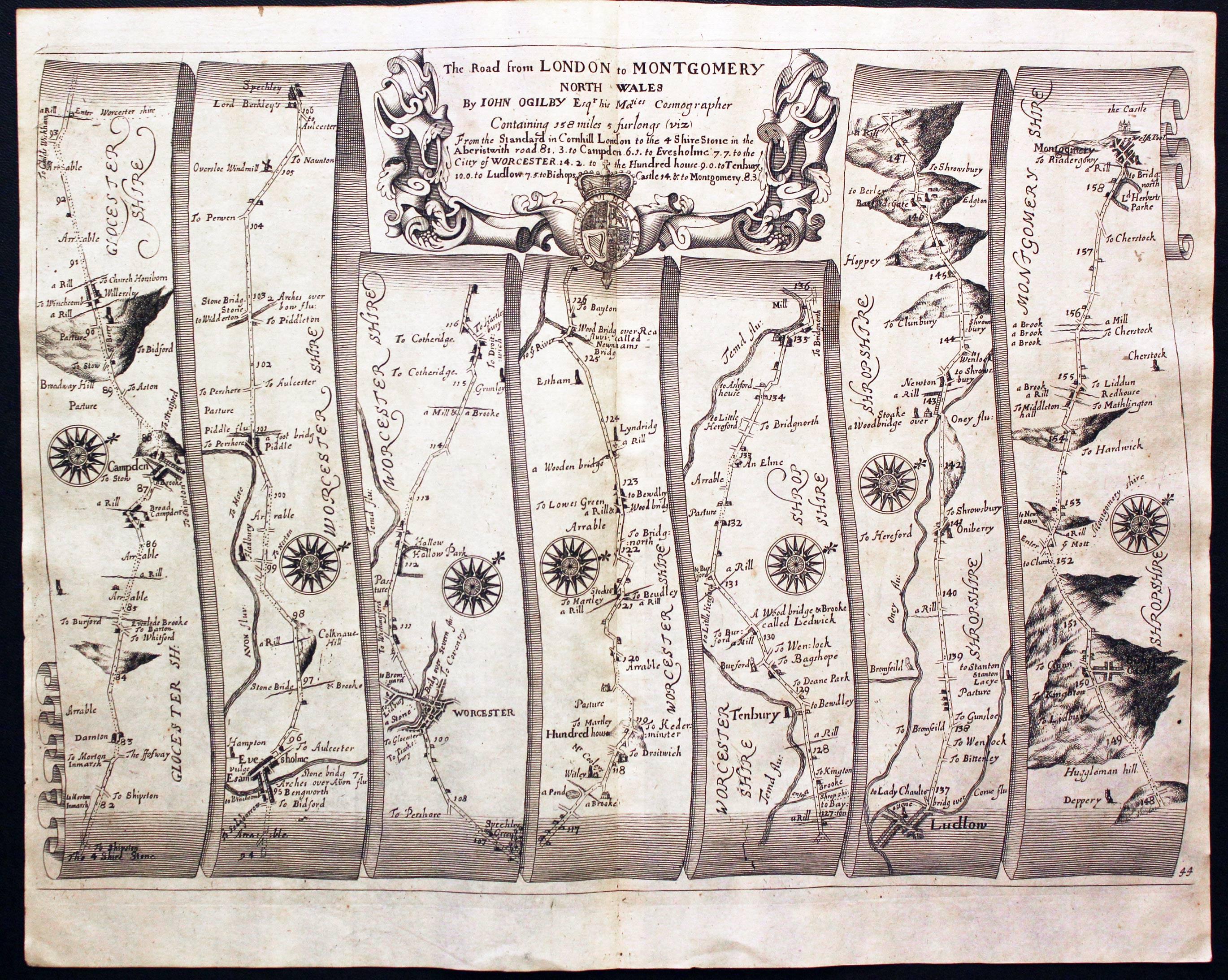
- ↑ Ogilby, John (1675). Britannia Atlas. Richard Nicholson of Chester, map dealer. p. Plate 44. Retrieved 1 October 2013.
- ↑ Because of an error in the printing, the salient of Oxfordshire that extends to the stone appears in mauve rather than the violet of the rest of Oxfordshire.
- ↑ "The Four Shire Stone Moreton-in-Marsh". Retrieved 12 August 2013.
- ↑ "Moreton-in-Marsh Tourist Information and Travel Guide". cotswolds.info. Retrieved 12 August 2013.
- ↑ Hooker, Mark T. (2009). The Hobbitonian Anthology. Llyfrawr. p. 98-99. ISBN 978-1448617012.