Flat Bush
| Flat Bush | |
|---|---|
| Basic information | |
| Local authority | Auckland Council |
| Electoral ward | Howick |
| Local board | Howick |
| Board subdivision | Botany |
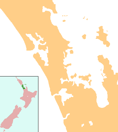
Flat Bush (also known as Ormiston) is New Zealand's largest and most comprehensively planned new town, taking shape on 1700 hectares in south east Auckland. An Auckland Council transformation project, Flat Bush will be home to at least 40,000 people by 2025, a similar population to Nelson, and includes five neighbourhood centres. Located near Manukau Heights the council has planned for the area to undergo substantial development since buying 290 hectares there in 1996.[1] While most of Flat Bush is being developed by the private sector, Auckland Council is guiding the overall development of the area to ensure people, places and the environment are given emphasis. The suburb contains the 94 hectare "Barry Curtis Park", named in recognition of Manukau's longest standing mayor, Barry Curtis,[2] with a development programme stretching into the 2020s.[3] A neighbouring 20 hectare town centre will be developed starting in 2010,[4] and planning is underway for subdivision of another 440 hectares. Building of houses has started next to Barry Curtis Park as of 2012. More land in the area is going to be developed over the next few years by Todd Property Group.
New Zealand's first cable-stayed bridge, on Ormiston Road, runs through the middle of Barry Curtis Park,[5] which is to be the green centre piece of the new town. The bridge was opened in October 2008.[6]
The city centre has started ground works Feb-Mar 2013 that was stalled due to the Global Financial Crisis since bridge completion
Flat Bush has five schools: Sancta Maria College (opened in 2004), Mission Heights Junior College and Mission Heights Primary (which both opened in February 2009), Baverstock Oaks School (opened 2005), Tyndale Park Christian School and Ormiston Senior College (opened 2011).[7]
References
- ↑ Daley, Nic. Flat Bush deal signed, Howick and Botany Times, 10 October 2007. Retrieved 8 December 2009. Archived 14 October 2007 at the Wayback Machine.
- ↑ Barry Curtis Park, Manukau City Council. Retrieved 8 December 2009.
- ↑ Barry Curtis Park milestones - Programme plan with development dates, Manukau City Council. Retrieved 8 December 2009. Archived 23 May 2010 at the Wayback Machine.
- ↑ Gibson, Anne (6 October 2007). "Flat Bush development pact signed". The New Zealand Herald. Retrieved 30 September 2011.
- ↑ "Funding approved for Flat Bush infrastructure" (PDF). Land Transport News (17): 1–2. June 2006. ISSN 1176-841X. Retrieved 8 December 2009.
- ↑ Ormiston Road Bridge opening, Howick and Botany Times, 1 October 2008. Retrieved 8 December 2009. Archived 3 October 2008 at the Wayback Machine.
- ↑ Flat Bush Area Strategy - Introduction, Ministry of Education. Retrieved 8 December 2009.
External links
- Flat Bush, Manukau City Council
- Photographs of Flat Bush held in Auckland Libraries' heritage collections.
Coordinates: 36°57′58″S 174°54′48″E / 36.9660°S 174.9132°E