Fitjanuten
| Fitjanuten | |
|---|---|
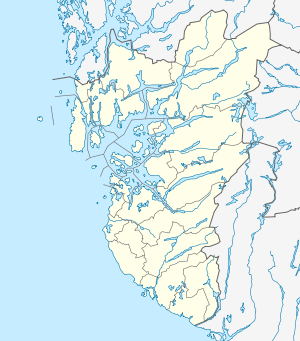 Fitjanuten Location in Rogaland | |
| Highest point | |
| Elevation | 1,504 m (4,934 ft) |
| Prominence | 50 m (160 ft) |
| Coordinates | 59°42′49″N 07°06′58″E / 59.71361°N 7.11611°ECoordinates: 59°42′49″N 07°06′58″E / 59.71361°N 7.11611°E |
| Geography | |
| Location | Rogaland/Telemark, Norway |
Fitjanuten is a mountain in southern Norway. The 1,504-metre (4,934 ft) tall mountain lies on the border of municipality of Suldal (in Rogaland county) and the municipality of Vinje (in Telemark county). The mountain lies just north of the lake Holmavatnet and about 5 kilometres (3.1 mi) south of the mountain Vassdalseggi.[1]
References
- ↑ Lauritzen, Per Roger, ed. (2009). "Fitjanuten". Norsk Fjelleksikon (in Norwegian). Arendal: Friluftsforlaget. ISBN 9788291495477.
This article is issued from Wikipedia - version of the 12/6/2015. The text is available under the Creative Commons Attribution/Share Alike but additional terms may apply for the media files.