Farquhar Airport
| Farquhar Airport | |||||||||||
|---|---|---|---|---|---|---|---|---|---|---|---|
| IATA: none – ICAO: FSFA | |||||||||||
| Summary | |||||||||||
| Airport type | Private | ||||||||||
| Operator | Island Deveoplment Company (IDC) | ||||||||||
| Location | Farquhar Atoll, Seychelles | ||||||||||
| Elevation AMSL | 10 ft / 3 m | ||||||||||
| Coordinates | 10°06′25.26″S 051°10′22.16″E / 10.1070167°S 51.1728222°E | ||||||||||
| Map | |||||||||||
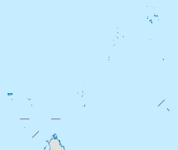 Farquhar Location of airport in Seychelles | |||||||||||
| Runways | |||||||||||
| |||||||||||
Farquhar Airport (ICAO: FSFA) is an airfield serving the Farquhar Atoll,[1] part of the Farquhar Group of islands in the Outer Islands of the Seychelles. The atoll consists of a number of islands; the airstrip is located on Île du Nord (North Island).[2]
Facilities
The airport lies at an elevation of 10 feet (3 m) above mean sea level. It has one runway designated 13/31 with a concrete surface measuring 1,179 by 12.5 metres (3,868 ft × 41 ft) and 5.25 metres (17 ft) of grass on each side giving it a total width of 23 metres (75 ft)..[1]
References
- 1 2 3 Airport information for FSFA from DAFIF (effective October 2006)
- ↑ Annotated aerial image showing airstrip on Île du Nord (North Island)
External links
This article is issued from Wikipedia - version of the 11/27/2016. The text is available under the Creative Commons Attribution/Share Alike but additional terms may apply for the media files.